
Exploring Ontario’s Back Roads to Algonquin Park


Picture this: to your right, the shutter-speed effect created by zooming past dark pines with teasing glimpses of open blue sky and sunshine rippling off the surface of a calm lake; to your left, the sun’s light, absorbed by the sharp-edged, sheet-like cuts of huge rusty-brown and grey ancient rock, creating contrasting shadows on the surface. Embedded around these road-cut rock masses are green, golden and red shrubs and trees.
You only realize how quiet it really is when you silence your engine, secure the bike, step onto the black tarmac, and pause Lynyrd Skynyrd’s “Free Bird” playing on your iPod. You glance over at your riding buddies, exchange a few smirks, nod your head, and before you know it you’re back on the road.
The beauty of Algonquin in mid-September is mesmerizing, and riding the pristine, scarcely travelled back roads through Ontario’s scenic Muskoka and Haliburton cottage country can literally put you in a zone that encompasses you and machine as one.
Our adventure began with a sunny but cool morning that quickly warmed to above seasonal temperatures by midday. No wind or rain in the forecast, just sunny skies; in other words, perfect riding conditions.
Travelling northward from Vaughan, “The city above Toronto,” we opted to avoid the multi-lane Hwy 400, taking the less congested Hwy 27, meandering through the upscale hamlets of Kleinburg, Nobleton and Schomberg en route to the east hills and valleys of the Niagara Escarpment. Since we had some time, the first leg of our trip was intentionally an indirect route to the Town of Hunstville, where we were to stay overnight.
We made our way west through Loretto toward Terra Nova, where we took the 20th Sideroad, a picturesque narrow road with overhanging trees.
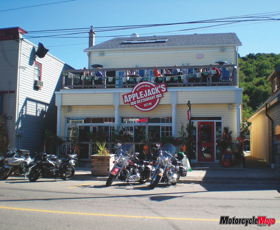
We passed quaint farmhouses and peaceful farmland in a northeast zigzag pattern through Creemore, Stayner and Wasaga Beach, whose claim to fame is the world’s longest freshwater beach at 14 km. Before we knew it, both our stomachs and gas tanks needed a fill-up. We stopped for lunch in the village of Coldwater, an early Chippewas Indian settlement, now a tourist gateway to the Trent-Severn Waterway. As the locals would describe Tiffany Restaurant, “it has everything.” Tiffany resembles a diner typical of the 50s and 60s with retro vinyl-back chrome chairs, laminate tables, friendly service, and a menu that…pretty well had just about anything you wanted. As it is the trio’s third journey together, we try to make a point of finding local eatery gems, and Tiffany did not disappoint.
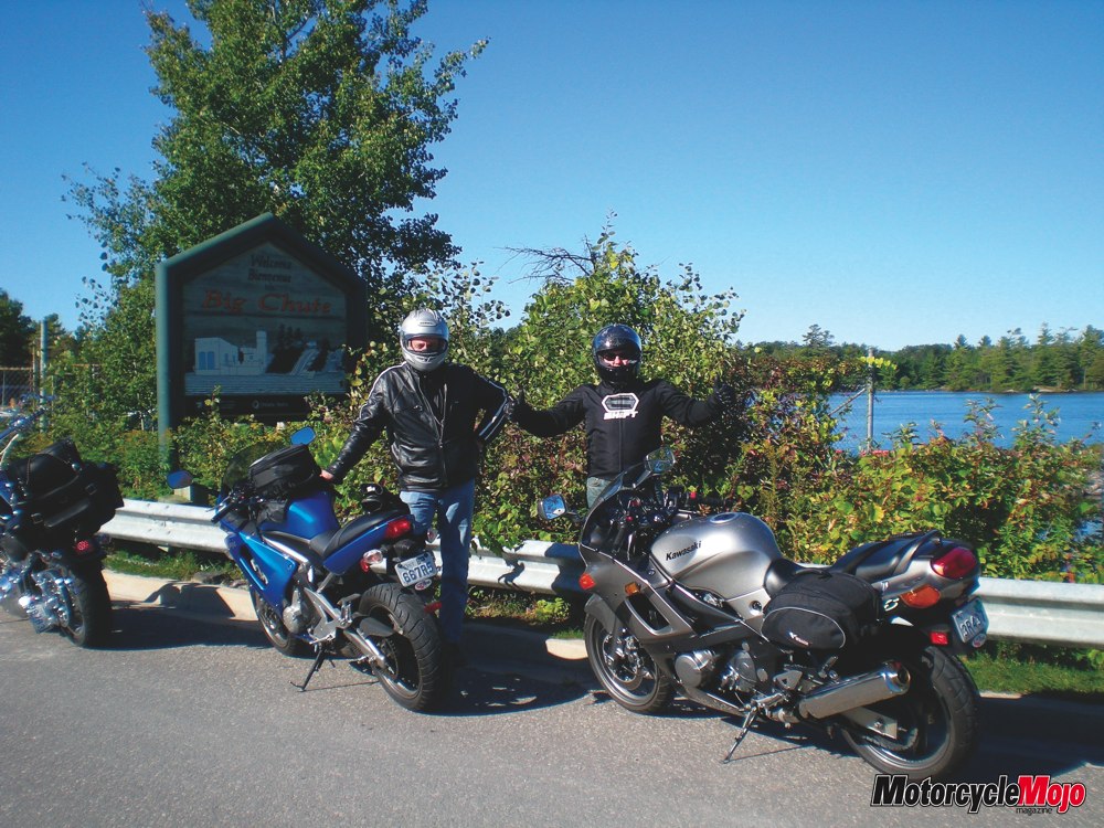
Before leaving the lower Georgian Bay region northward toward Muskoka, we travelled both the Lower and Upper Big Chute Roads. The wooden bridges, railway tracks and rather rough surface at the onset make for an interesting challenge. The road continues with some fairly decent twists and curves to Severn Falls toward the Big Chute Marine Railway–a national historic site and the only marine railway of its kind still in operation in North America. The Railway is actually quite an innovative carriage-like mechanism that transports leisure boats across the road and winches them down about 18 metres to the lake below.
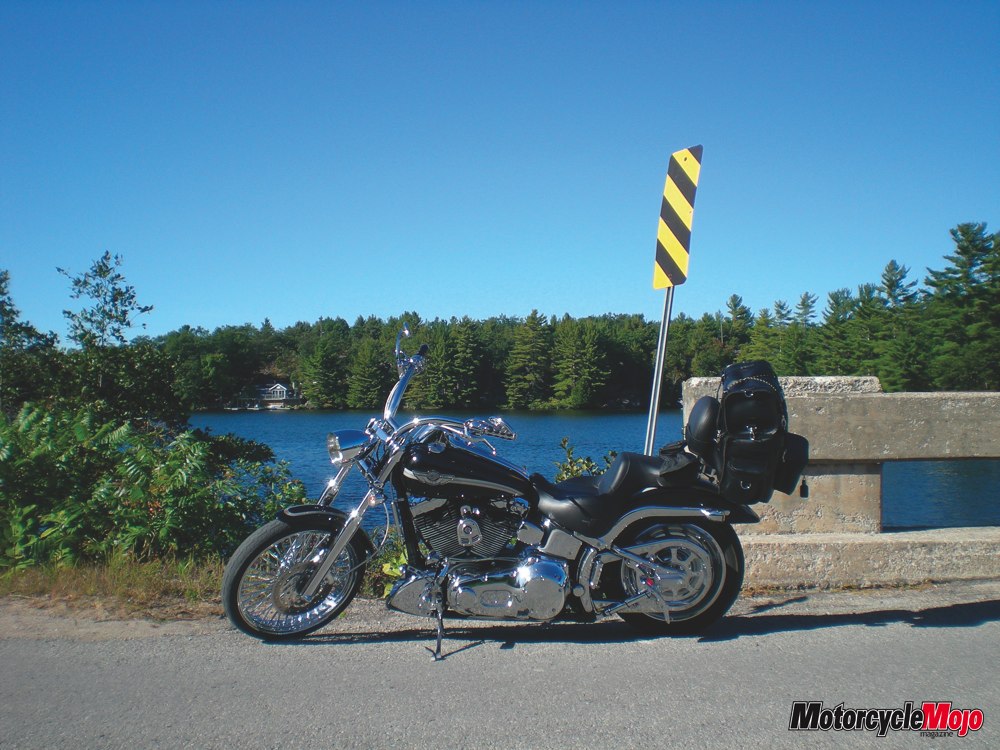
We headed north on Highway 400, entering the Muskoka area, taking Muskoka Road 38 through the Wahta Mohawk Territory en route to Bala, where a parking area flanked by a wall of solid Canadian Shield rock made for a perfect rest stop. The word “wahta” is the Mohawk word for maple sugar, associated with the abundance of maple trees in the area. Muskoka Road 38 is a pristine roadway with beautiful sweeping curves that beg an extra twist of the throttle. And as expected, being the one guy with the big V-Twin, I may have been slowing down the two ninjas trailing behind as my riding buddies, Al and Carl, were itching to bring their bikes over 9,000 rpm. Also, as lead bike, I know I was helping to create the line. A balance of brake and throttle, finding the apex, negotiating the turn, pushing through it with a combination of counter-steer and lean angle, then finally accelerating out of the turn and looking as far as possible into the next approaching challenge. I was reminded of a conversation I had with a supersport motorcycle racer on the subject: try to get into the rhythm and manage the sweeping curves as smooth and as firm as possible. It doesn’t really matter the size of bike you’re on, but it may mean the odd pavement scraping of the footboard, or in my case, the tips of the exhaust pipes.
Carl later navigated us through some serene landscapes of varied forest, lakeside vistas, and rock formations, all on smooth, less technical sweeper roads. Our route continued northward on Highway 69, along the west side of Lake Joseph, where we then connected to Highway 141.
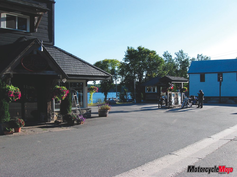
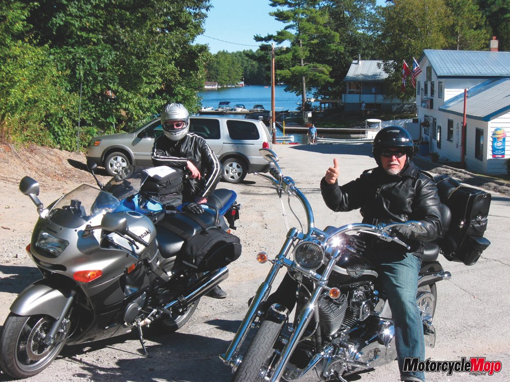
Our fuel fill-up in Rosseau resembled a location shoot for a romance movie, with a spotless country-style gas station and an immaculate dark-wood service kiosk selling not only gasoline, but freshly baked pecan tarts. It was located in a quaint high point overlooking Lake Rosseau with park benches along its banks. Guests at the She-She-La-La restaurant, located adjacent to the pumping station, were making occasional short glances our way. A loud crank of the throttle seemed out of place, but with the temptation to stir things up a little in pretty-town, we left the scene with just a little more attitude.
We headed toward our final destination of the day, taking Regional Road 3 to Huntsville. It was the one road thus far that provided us with a unique taste of nature. No, not bugs in our teeth, but the scent of cedar trees mixed with the musky scent of woodlands, the same experience I would encounter again riding through Algonquin the next day. It was a wonderful and welcoming experience riding past tall whispering pines lining the sides of the road as we entered our destination town.
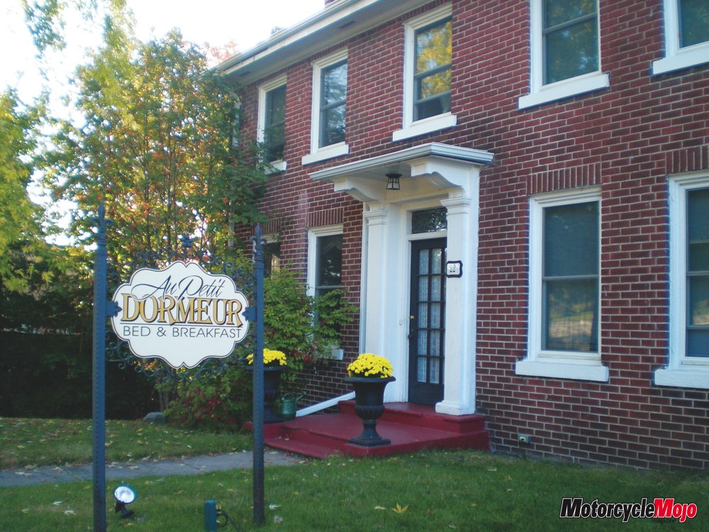
As we pulled up to Au Petit Dormeur B&B, Joanne Cote was happy to welcome us as her guests. “So you’re the bikers?” she asked with a French-Canadian accent followed by a big smile; it was enough to break the ice, followed up with words along the lines of “mi casa, tu casa.”
Built in 1927 by the same architects who built the Huntsville Town Hall, this doctor’s residence/office featured the same classical revival style and charm, complimented by the modern amenities one would expect.
The second-floor balcony overlooking Hunters Bay provided us with a majestic view of the sun setting over the horizon and later served as our outdoor lounge where we enjoyed a glass of fine South African red before dinner; it was also a perfect venue to sip away at the 20-year-old port later in the evening. It made for a perfect closure to a perfect day of riding.
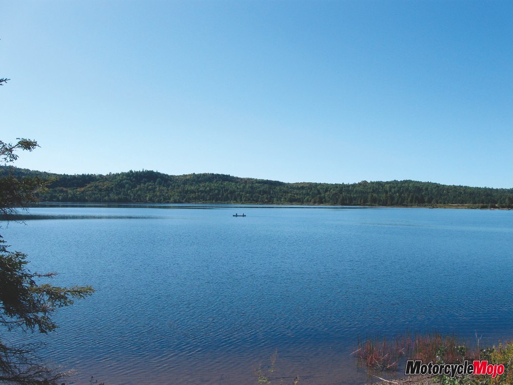
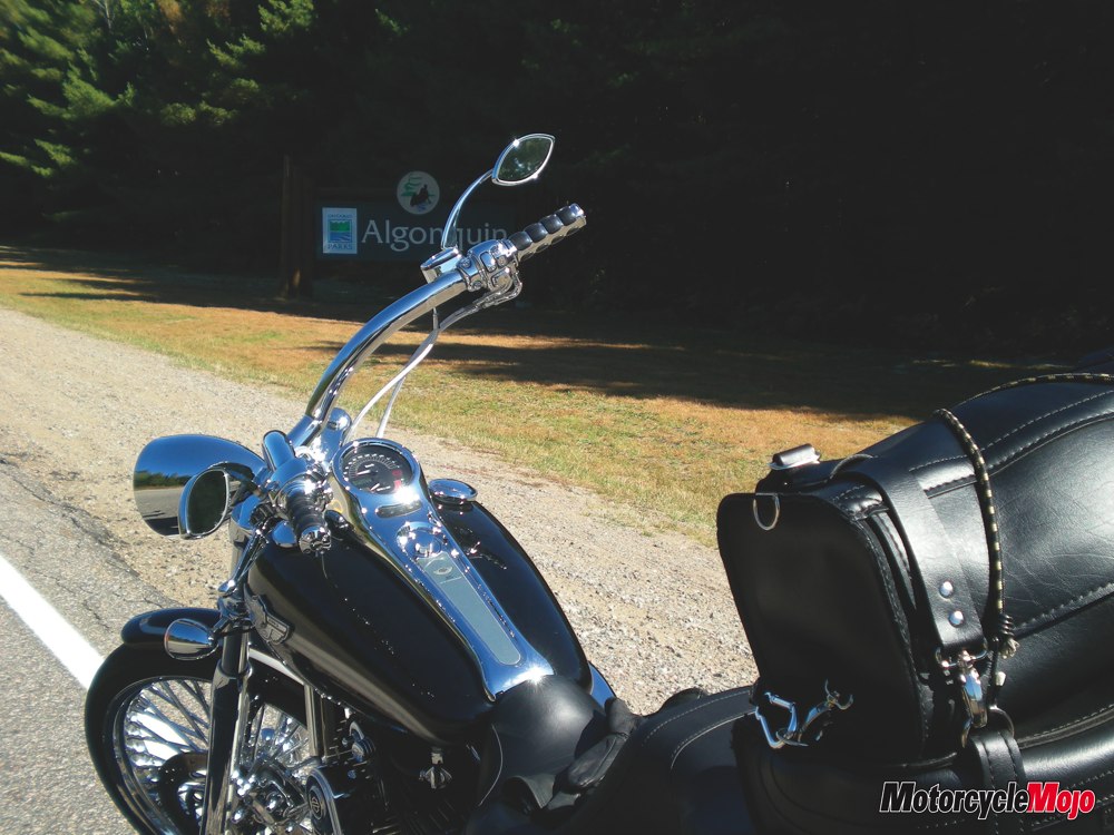
As the day before, the riding conditions were perfect on our second day as we headed east on Hwy 60 toward Algonquin Provincial Park. The park is a wildlife sanctuary and unequalled, at least in Ontario, as a place for moose sightings. Its flora and fauna almost blanket the entire park, and its lakes and streams are stunning. I particularly enjoyed the wild beauty of the Precambrian Shield, also known as the Canadian Shield, quiet lakes and forests that Canadian artist Tom Thompson and the Group of Seven captured and later became famous for.
The Parkway Corridor (Hwy 60) is a rather short (56 km) stretch through the southern section of Algonquin, and is both scenic and easy to navigate. The road condition is near perfect, and with an 80-km/h speed limit, the riding was fun; one can take in the wonderful views, travel at a decent speed and not worry too much about any technical challenges of the road. Imagine perfect shifting, braking and turning–being one with the machine–it was that good. No moose sightings…I took this as a good sign.


Thanks for Reading
If you don’t already subscribe to Motorcycle Mojo we ask that you seriously think about it. We are Canada’s last mainstream motorcycle magazine that continuously provides a print and digital issue on a regular basis.
We offer exclusive content created by riders, for riders.
Our editorial staff consists of experienced industry veterans that produce trusted and respected coverage for readers from every walk of life.
Motorcycle Mojo Magazine is an award winning publication that provides premium content guaranteed to be of interest to every motorcycle enthusiast. Whether you prefer cruisers or adventure-touring, vintage or the latest models; riding round the world or just to work, Motorcycle Mojo covers every aspect of the motorcycle experience. Each issue of Motorcycle Mojo contains tests of new models, feature travel stories, compelling human interest articles, technical exposés, product reviews, as well as unique perspectives by regular columnists on safety or just everyday situations that may be stressful at the time but turn into fabulous campfire stories.
Thanks for considering a subscription. The Mojo team truly appreciates it.
