
Paradise in the Appalachians

Pocahontas County could be West Virginia’s best treasure for the motorcyclist
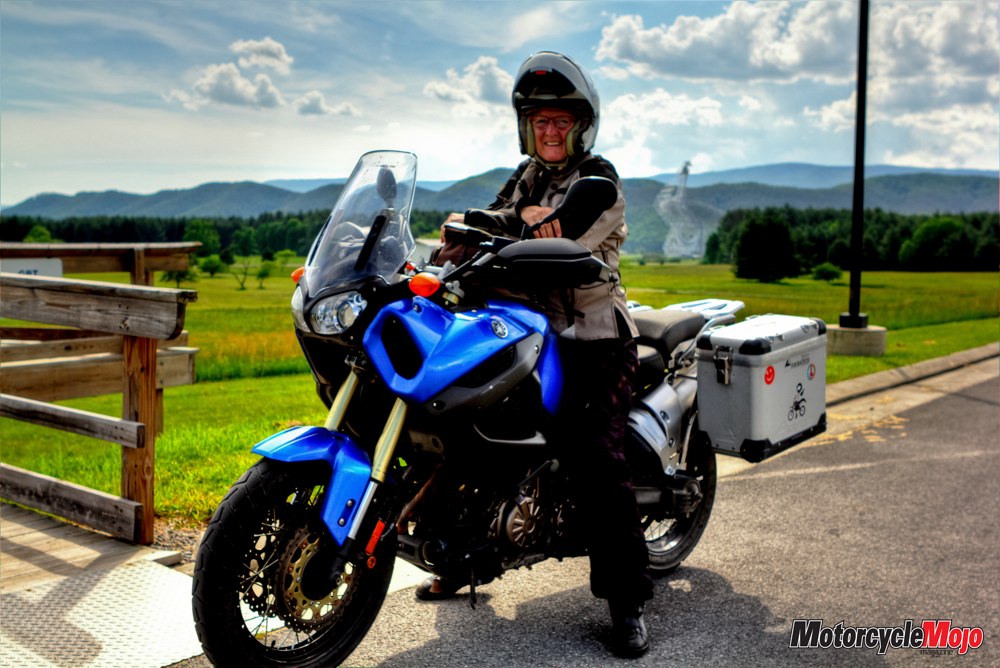
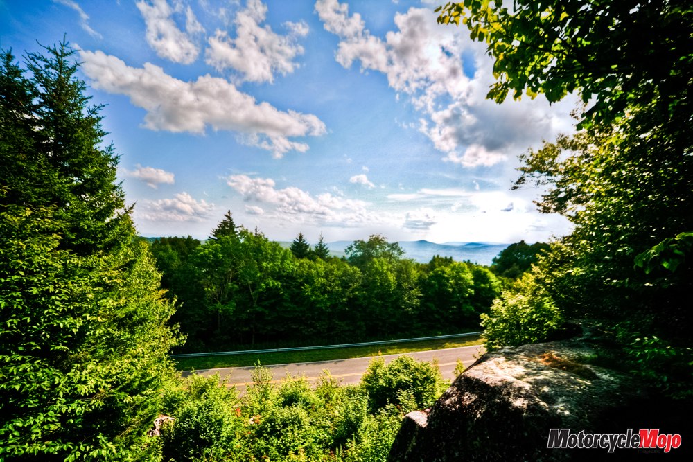
Cresting Virginia’s Shenandoah Mountain through tight switchbacks, a scenic overlook on the right side of the road offered a welcomed breather. Ready for a break during a long day of riding, I pulled over. I was headed east on Route 250 through the Washington National Forest on my way to Pocahontas County, West Virginia. Hooked during a visit the year before, I was returning to explore the area further.
Arriving at Fort Johnson, my eye was immediately caught by the Confederate Breastworks sign. In this case, “breastworks” refers to a temporary, quickly constructed fortification, about breast-high. Built in 1862 by Confederate soldiers to defend the valley against Union Troops advancing from the west, they started by digging a mile of trench in rocky ground. After clearing the trees from the western slope, they constructed the breastworks by laying logs on the downhill side of the trench, fortifying it with soil and rocks.
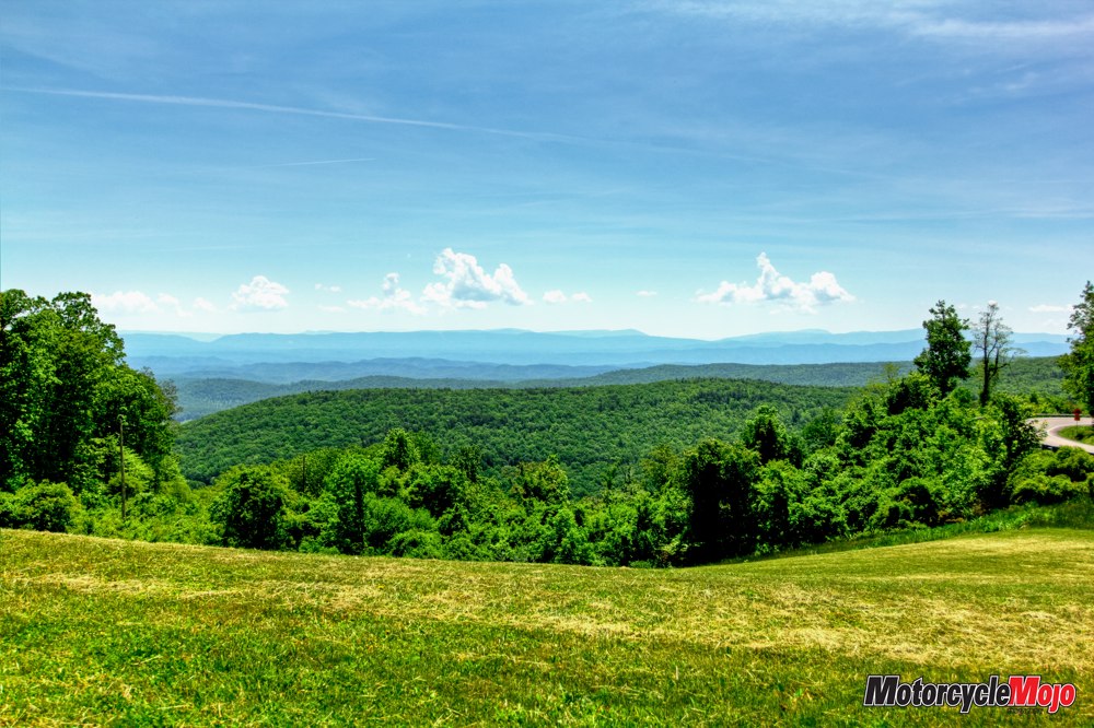
Although more than 150 years have passed, you can relive the scene as you walk the trail through the remnants. It’s easy to see why the Confederates picked this strategic location. The vista opens up to the west and you can see for miles, toward West Virginia and Frost, my destination for the day.
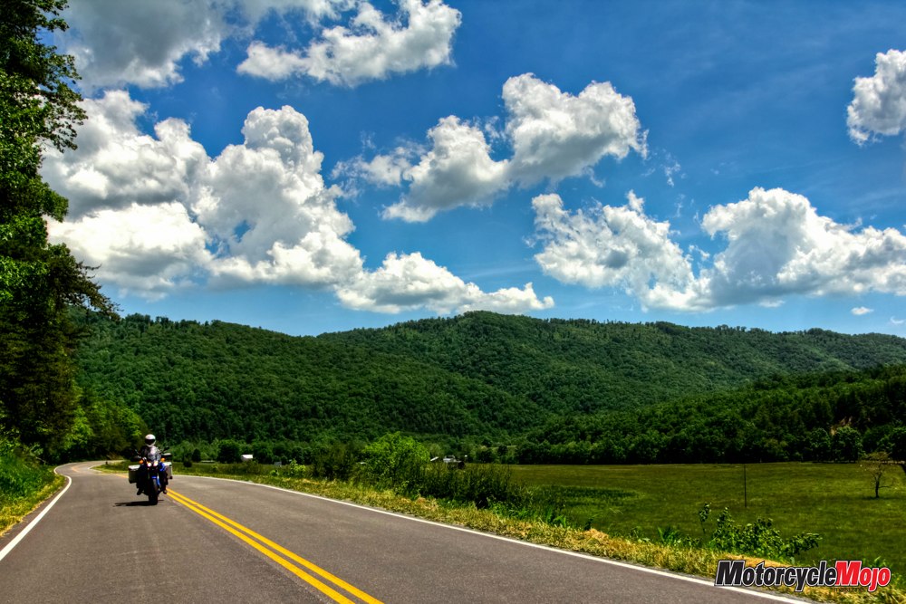
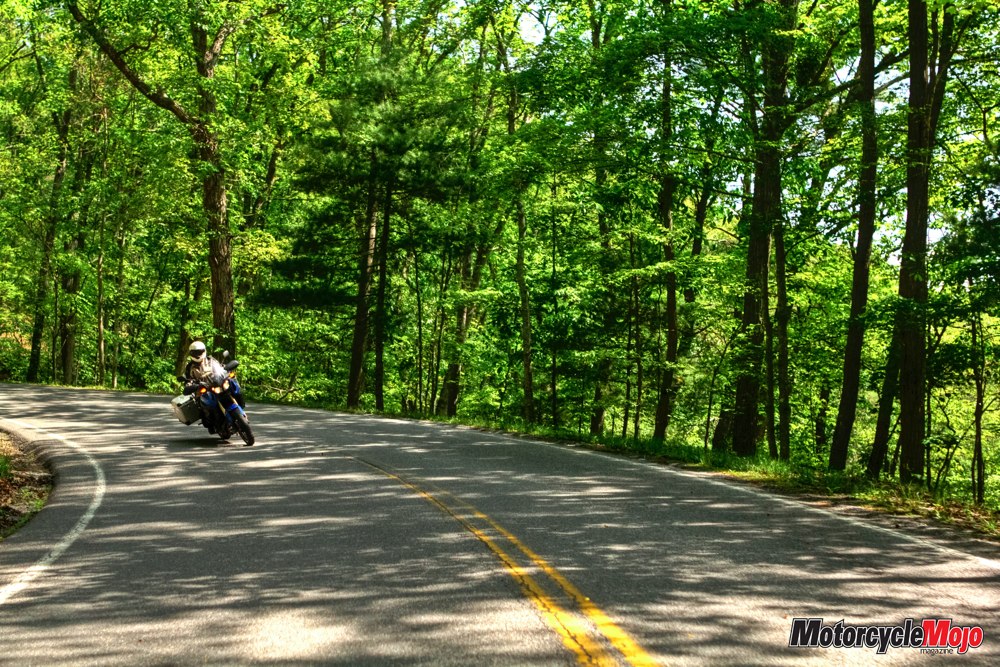
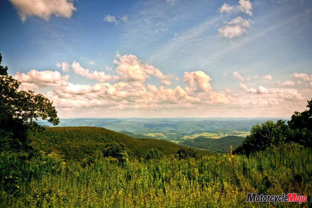
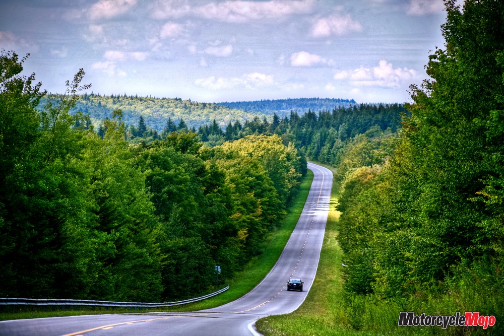
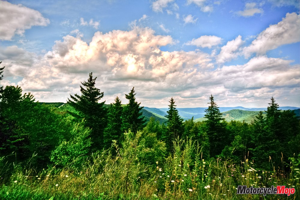
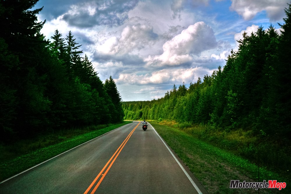
Lying completely within the Appalachian Mountains, Pocahontas County and its 9000 residents are spread over 2437 square kilometres, half of which are in the Monongahela National Forest, making it one of the most sparsely populated counties in the state. Eight rivers have their headwaters here, so rushing mountain streams are never far away. With well-paved, well-engineered and well-maintained mountain roads twisting and turning, climbing and dipping into valleys and offering spectacular views no matter which road you choose, it’s a motorcyclist’s paradise.
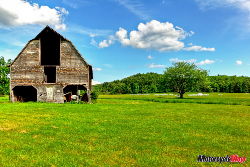
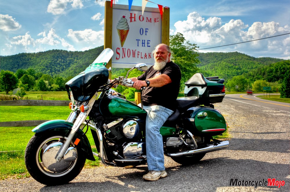
Even the air is different here. It’s crisp, clear and filled with birdsong. Everything is lush and green. There are no big box stores, no strip malls and only two chain outlets – a Subway and a Dairy Queen. It’s a place with old-fashioned, down-home friendly service, home-cooked meals, and a welcome that never wears out. It’s like going back to a simpler, more personal time. Like going home.
Route 220 took me south from Rt. 250 before turning west on Rt. 84, which carried me to Frost. Set in a broad mountain valley, Frost is merely a junction of Rt. 84 and Rt. 92, sprinkled with a few clapboard houses. Its tranquil setting is perfect for a good night’s rest, especially after a day of riding.
As the sun climbed over the mountains the next morning, I headed south on Rt. 92 before turning east on Rt. 39 at Minnehaha Springs. Also known as the Appalachian Waters Scenic Byway in these parts, it stretches 224 km from Lexington, Virginia, to Summersville, West Virginia, with Minnehaha Springs conveniently located at the midway point.
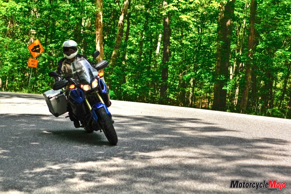
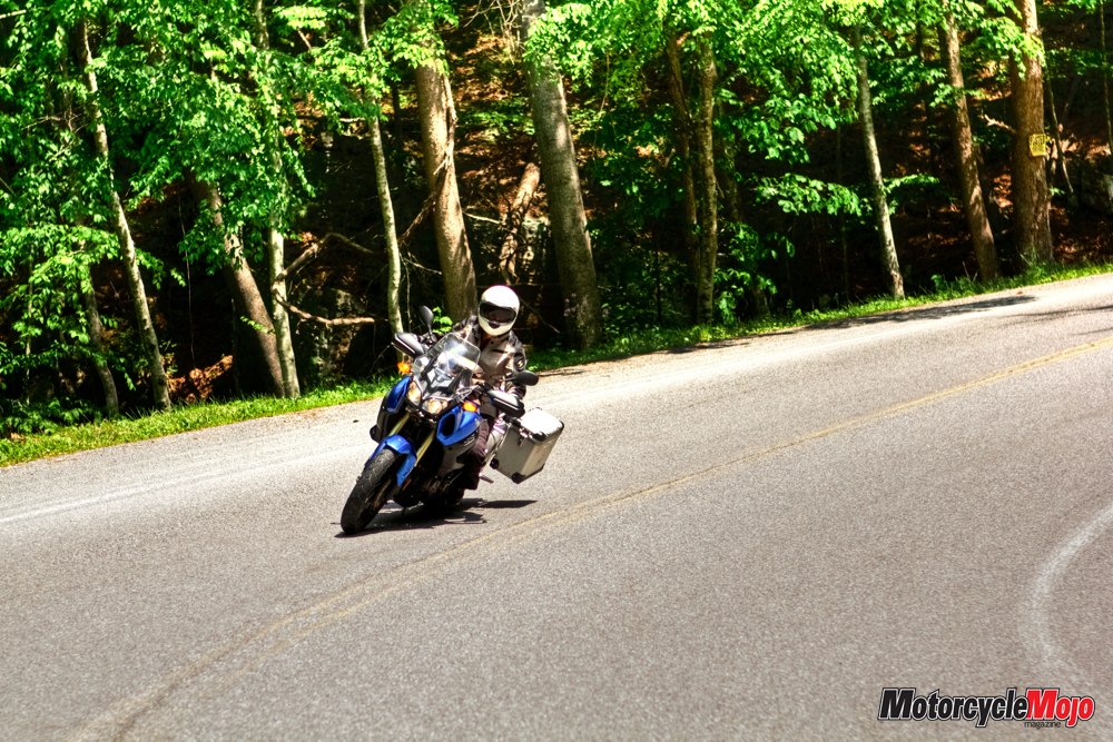
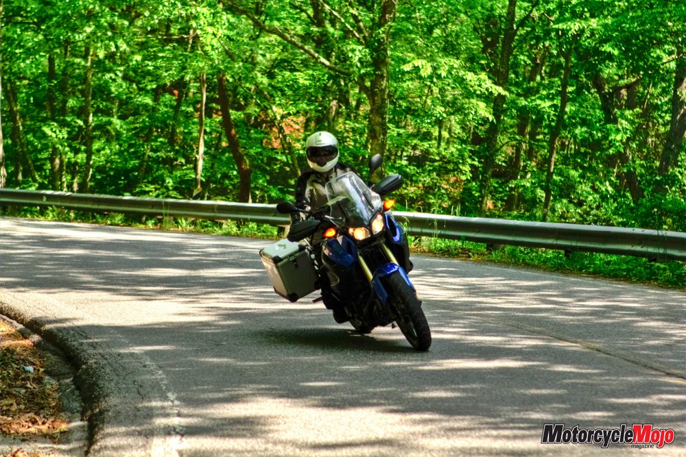
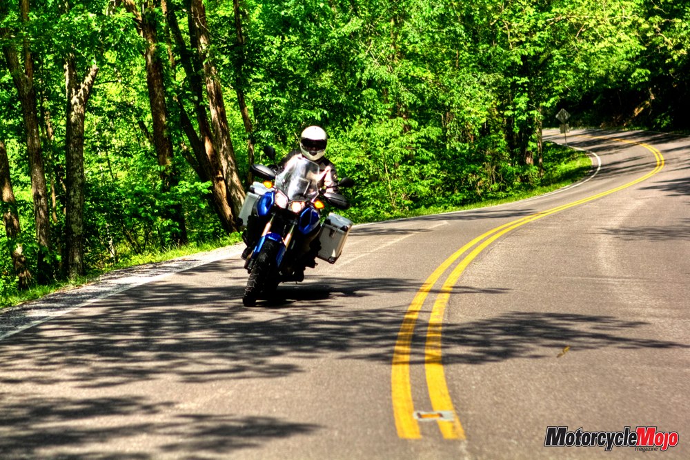
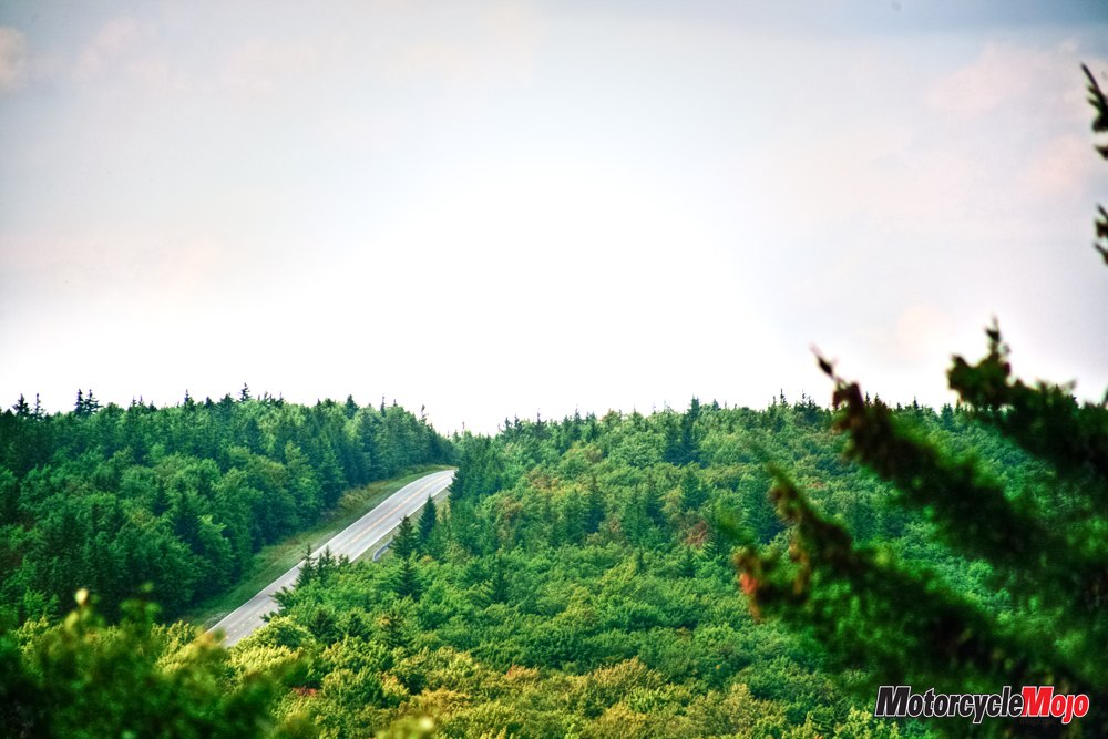
Smooth roads with surfaces in good condition tunneled through canopies of hardwood, often paired with tumbling mountain streams as they carved up the mountains. The twisties tightened the higher I got, urging me on with outstanding vistas.
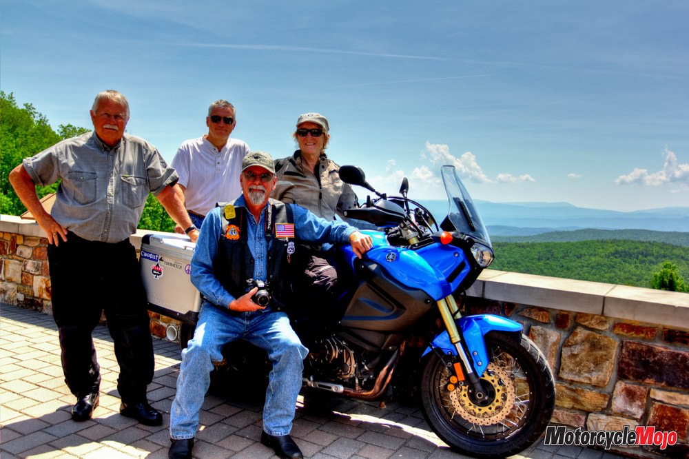
“The Virginians” pulled up to the Dan Ingalls overlook where I’d stopped just west of Warm Springs, Virginia. They were three friends, out for a ride, enjoying camaraderie, the roads and the natural beauty that surrounded them. The panoramic view of thick hardwood forests, glacial rock and mountain valleys creates the perfect place to stretch your legs, take a few pictures and breathe in the beauty.
My planned turnaround was Goshen Pass, four miles west of the town of Goshen, which I’d heard offered another magnificent view. I’d heard right. Overlooking the Maury River Gorge, the river here has some of the most popular whitewater in Virginia. Pulling myself away, I knew that more fantastic riding awaited.
Carving the corners and switchbacks heading back into Pocahontas County was just as exciting as the opposite direction and offered a whole different perspective. It was continuous, consistently fantastic riding, although the odd farm vehicle briefly slowed me down. It was easy enough to pass, but I did bide my time well back from the truck shuttling anxious cattle between fields.
Back at Minnehaha Springs, I turned north on Rt. 92, cruising at a more relaxed pace through the gentle curves of the valley, meeting very little traffic. Thirty kilometres up the road, a green 1500 Nomad parked outside the Dunmore Country Mart and Bakery drew me in. Back in 2007, owners Kevin and Amanda Fraser took a motorcycle trip here from their home in Maryland, and it captured their hearts. “The roads were just biker roads,” says Kevin. “We looked down on German Valley and it reminded us of our home in Capetown, South Africa.” They rented a furnished apartment and began escaping from the urban D.C. setting every weekend, relocating permanently in 2011.
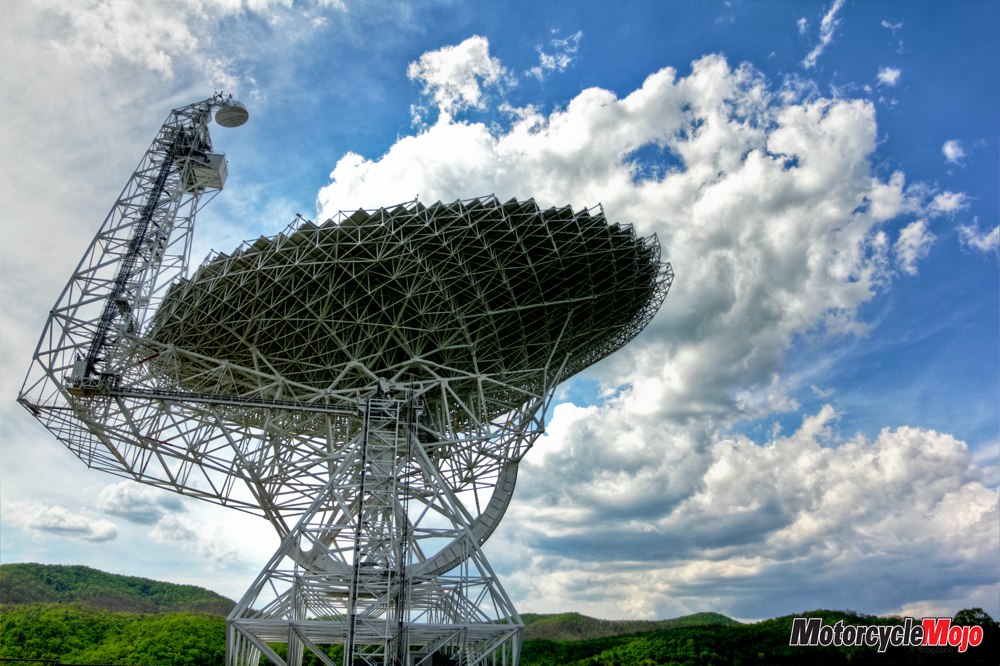
A little further north, your jaw will drop as mine did at your first glimpse of the Green Bank Telescope (GBT), the world’s largest steerable telescope, operated by the National Radio Astronomy Observatory (NRAO).
Director Dr. Karen O’Neill welcomed me and explained, “The computer telescope covers wavelengths your eye can’t see. The further away in space you look, the further back in time you go. We have instruments here on site that are designed to look back to the edge of the universe.”
Weighing 7,382,215 kg (16.725 million lb.), the giant telescope’s 9307 m2 (2.3 acre) parabola reflects to the receiver signals originating 14 billion light-years away. “We’re looking at what the universe looked like at that time,” says Mike Holstine, the business manager. “We can look at different distances at what we think are the same types of things, and therefore look at them at different points in time. It allows us to see the birth of stars, their life and death.”
Since radio waves can interfere with the telescope, the area within a 16 km radius is a radio-free zone – so no microwaves or cell phones. I’m sure it contributes to the purity of the air. Fifty thousand people tour the site annually, and I highly recommend adding it to your list of places to stop.
Back here on Earth, it was time to return to mountain roads, heading south again on Rt. 92, but this time turning west on Rt. 66, winding up and through the historic town of Cass, West Virginia. A vibrant lumber town in its day, it’s rich in the history of an era gone by. Careful restoration has brought the company town and many of its white clapboard cottages back to life. Built to house lumbermen and their families, they now offer lodging for travellers eager to ride the Cass Scenic Railway – or just to step back in time.
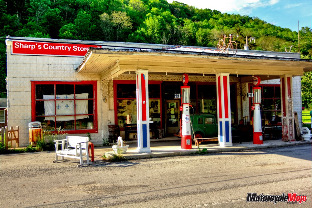
A few more miles of twists and turns took me past the cutoff for the Snowshoe Mountain Ski Resort. Although established as a premier ski resort, it caters to motorcyclists in the summer, hosting HOG Rallies and the annual Snowshoe Freedom Fest – their own annual, West-Virginia, all-brand touring rally. Turning south on Rt. 219 brought me to Slatyfork and Sharp’s Country Store. You’ll want to allow plenty of time to absorb the history, artifacts and stories when you stop here. Family owned since 1884, current steward Tom Shipley traces his turbulent family history back to his eighth great-granddad William Sharp, who built the first house in nearby Huntersville in the 1760s, “before it was even Huntersville.” William Sharp III established a farm on the land on which Sharp’s sits today. The second log home he built, in 1841, is still standing; it was the polling place for the 1864 election won by Lincoln. Coverlets made by William Sharp III’s wife are on display in the store.
The 1912, 15-room farmhouse with wraparound porch stands behind the store and will soon have a white picket fence, just like it did in the old days. It’s where Shipley and his family live and operate a “Bed and Bring Your Own Breakfast,” with meals prepared in the communal kitchen and eaten at a giant table that once seated farm hands. “When people come into the store, there will be two or three old guys sitting around the counter, talking about life and solving the world’s problems, just like they’ve been doing since 1884. Everyone is welcome to join in the conversation.”
The shadows were lengthening when I left, signalling it was time to get dinner and make my way back to my lodging before darkness fell. Although I’d only covered 300 km, it had been a full, satiating day of riding. I’d hoped to get to the two-lane Highland Scenic Highway, which I’d ridden last time. Along its 69 km, the elevation rises from 709 m to over 1372 m as it cuts through Monongahela National Forest. Four scenic overlooks provide stunning views, but they’d have to wait for another time. Fortunately, the Elk River Restaurant and Inn, known for delicious fare, was just down the road. To no one’s surprise, I was joined by another rider, in town to meet up for the ninth year in a row with a group of online friends arriving from hundreds of miles around. Good food, good company and a local bluegrass band made for a memorable time. Even longer shadows met me as I left.
My route took me south on Rt. 219, turning east on Rt. 39 and crossing the Greenbrier River bridge, which connects Marlinton, the county seat, to Rt. 219. There are only two stoplights in all of Pocahontas County, both in Marlinton’s historic downtown. The first one stopped me, but it was my first stoplight of the day and gave me a couple of minutes to look around and go back in time. Established in 1749 by James Marlin and Stephen Sewell, Marlinton was the first English settlement west of the Alleghenies. On high alert for deer, I kept my speed down on the way back to Frost. Arriving safely, exhilarated but tired, I did one more thing after parking my bike: I went for a walk. The only sounds were those of nature and the odd vehicle. No city lights meant unobstructed views of the Milky Way, a billion stars and limitless imagination. Gazing at the sky was breathtaking.
With mixed feelings, I set out for home the next morning. The roads approaching Pocahontas County from any direction are delightful. And so I enjoyed riding north on Rt. 92 as it joined with Rt. 250 west to Rt. 219 north. After that, it was Rt. 92 almost to the top of the state. Once out of Pocahontas County and north of Rt. 33, the road surfaces weren’t quite as smooth or the scenery quite as spectacular, but perhaps that’s because I was already missing the heavenly setting I’d come from. The nearest interstate to Marlinton is 64 km away, and access from any direction is via some of the finest motorcycle roads in the country. This means not only less traffic, but you’re not likely to get stuck behind long lines of RVs. A comfortable visit to Pocahontas County’s idyllic locale in the Appalachians does require a bit of planning. Cell-phone and cell-dependent GPS services are not reliably available. While there are plenty of gas stations, not all carry premium grades, so top up before your tank gets too low. The Pocahontas County Convention and Visitor’s Bureau website (pocahontascountywv.com) is a complete planning resource for your trip, providing extensive information on points of interest, accommodations and events. Check out the motorcycle touring section and download the well-thought-out Motorcycle Touring Map with suggested routes covering over 1931 km of spectacular riding. Liz Jansen is an author, speaker and coach whose work draws from her experience on two wheels. Her blogs, with practical tips and inspirational advice, can be found on her website at www.lizjansen.com.


Thanks for Reading
If you don’t already subscribe to Motorcycle Mojo we ask that you seriously think about it. We are Canada’s last mainstream motorcycle magazine that continuously provides a print and digital issue on a regular basis.
We offer exclusive content created by riders, for riders.
Our editorial staff consists of experienced industry veterans that produce trusted and respected coverage for readers from every walk of life.
Motorcycle Mojo Magazine is an award winning publication that provides premium content guaranteed to be of interest to every motorcycle enthusiast. Whether you prefer cruisers or adventure-touring, vintage or the latest models; riding round the world or just to work, Motorcycle Mojo covers every aspect of the motorcycle experience. Each issue of Motorcycle Mojo contains tests of new models, feature travel stories, compelling human interest articles, technical exposés, product reviews, as well as unique perspectives by regular columnists on safety or just everyday situations that may be stressful at the time but turn into fabulous campfire stories.
Thanks for considering a subscription. The Mojo team truly appreciates it.
