
Right Down the Middle


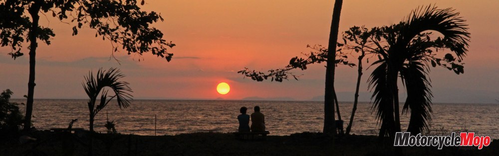

Fascinating cultures and people, poverty and wealth, and stunning scenery are commonplace on a ride down the spine of the Americas
It is a hot and sunny day in San Diego as we set out to cross the border between the United States and Mexico. Even though we are a long way from the geographic Central American border, linguistically and culturally speaking, our adventure starts as we cross the border into Tijuana. The border crossing is a close network of walls, fences and watchtowers. But this “protective wall” serves the United States’ purpose of trying to stem the tide of illegal immigrants from Mexico. Within just a few kilometres of the border, it is clear that we have already entered another world. The landscape is immediately dotted with tiny mom-and-pop shops, ancient pickup trucks, and dilapidated and abandoned buildings.
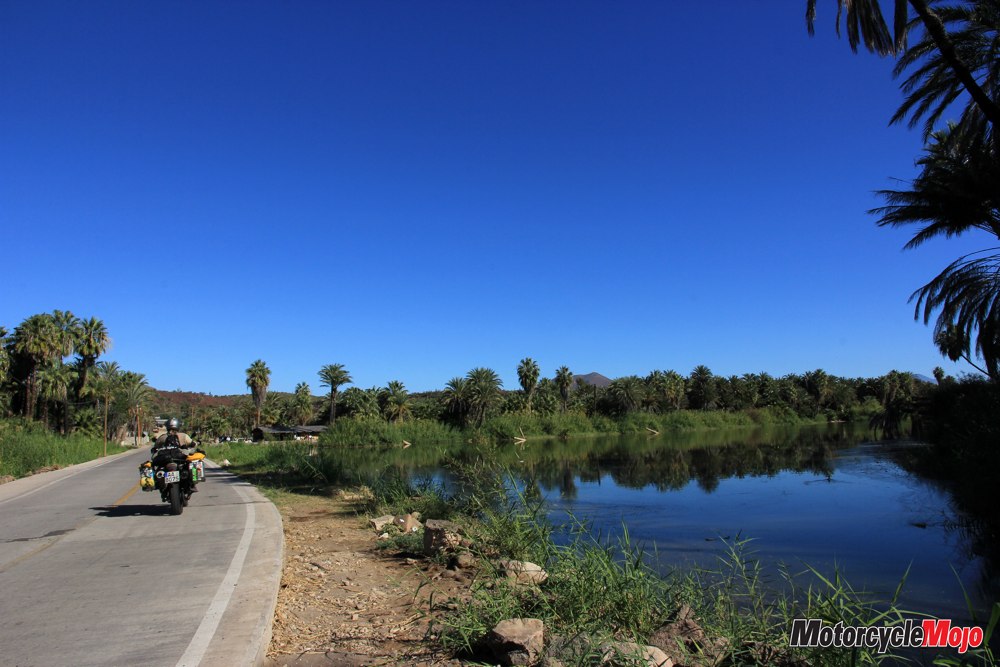
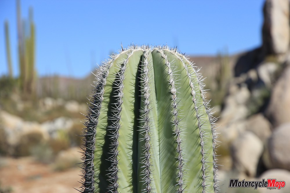
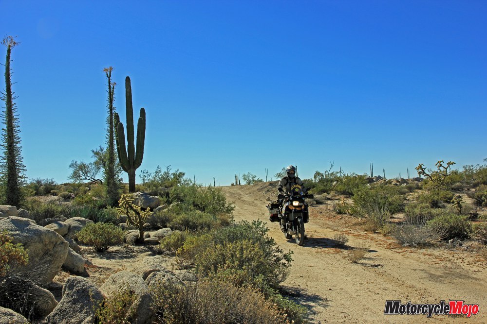
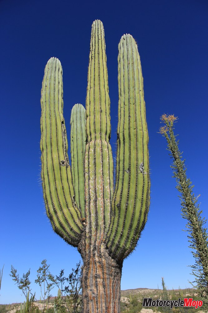
Baja California stretches out before us – the same peninsula that has become famous for the Baja 1000 desert rally, which takes place here. We glide along the paved MEX1 for a while, and then venture off the main route over sand and gravel tracks through a landscape dominated by cacti – the quintessential element of Mexican terrain.
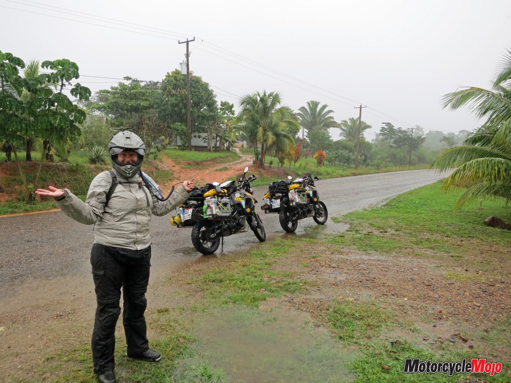
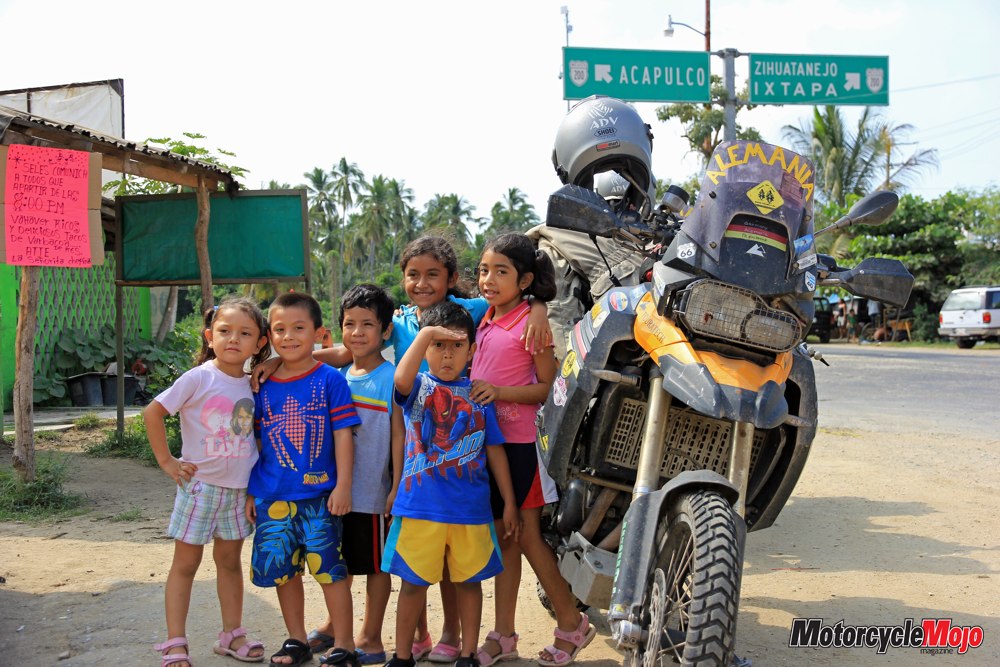
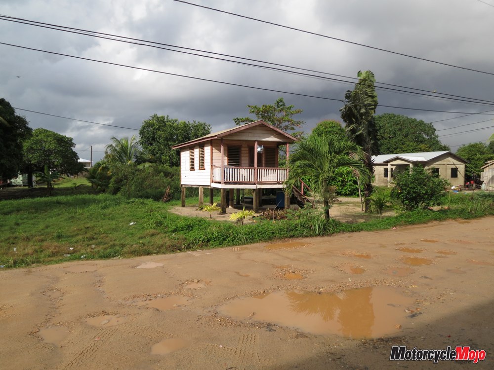
The night ferry brings us from La Paz on the Baja Peninsula to Mazatlán on the Mexican mainland. We arrive amid the hustle and bustle of a major port. We don’t even notice until we leave the city that the landscape is getting tropical; the roads are lined with lush, verdant vegetation and the high humidity is unbelievable. We swing down along the coast, following the strip of asphalt as it winds its way further south. Picturesque fruit and vegetable stands dot the roadside, housed in simple little wooden shacks with roofs made of palm fronds. Tacos and fried chicken are offered as a cheap lunch snack. Everyone is so friendly, and the children in particular are fascinated by our modified bikes and are eager to pose with us while their dad captures a couple of shots on his cell phone for the family album.
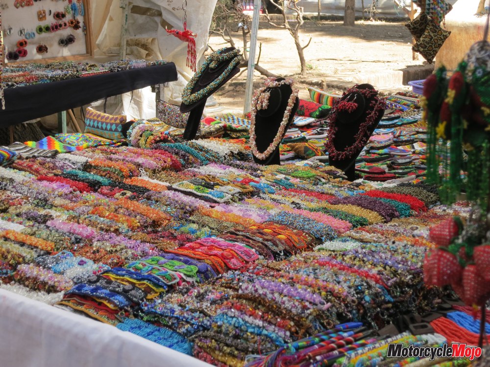
Close to the Guatemalan border, we stop in San Cristóbal de las Casas for several days to give ourselves time to take in one of Mexico’s most beautiful cities. We stroll through the colourful markets and saunter down narrow cobblestone streets as street vendors hawk their wares.
Heading northwest, we pass through a mountain landscape dominated by pine forests. The route is curvy and is not very busy, but is absolutely studded with speed bumps called topes, which are found throughout Mexico. These topes are not always signposted, and they enliven our trip several times with a shot of adrenaline when they force us to suddenly brake to a hard stop.
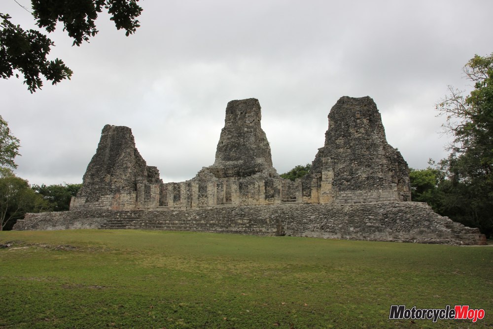
One of the highlights of our trip is eight kilometres outside the city of Palenque. Dating back to 226 BC, it is one of the best-known archaeological sites for Mayan ruins in Mexico, and they provide a fascinating glimpse into the history and culture of the Maya people.
We bypass the Yucatán Peninsula, Mexico’s tourist mecca, and are instead drawn to its tiny neighbouring country of Belize. Crossing the border here is easy. The officials are extremely relaxed, and it doesn’t take long before they are welcoming us to their country.
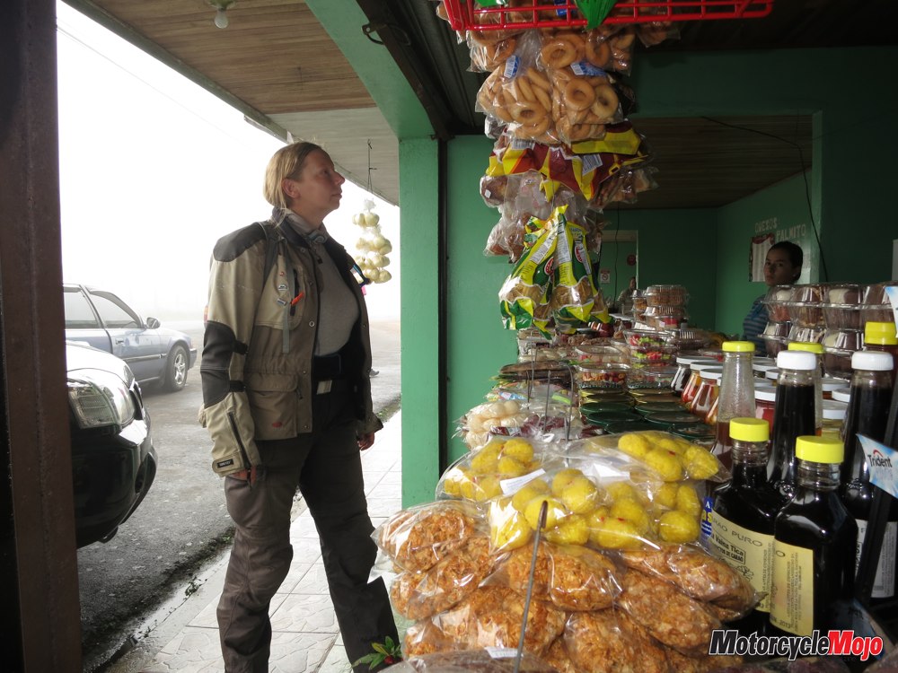
In the small northern fishing village of Corozal, we get a room in a small hostel, where our innkeeper provides us with insider tips that you can get only from a local. We learn, for example, that the best place to exchange our money is not the bank, but rather, the small hardware store – where of course, there are no fees, the transaction is quick and no red tape is involved.
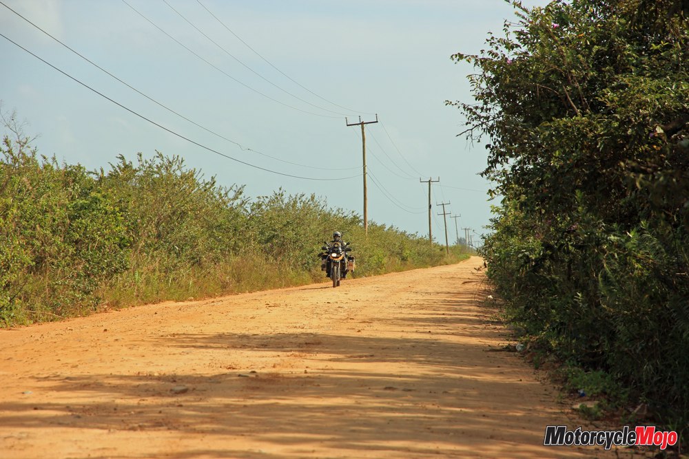
Equipped with the national currency, we are on our way to explore the country, which does not require us to travel any great distances, because Belize is small and the road network easy to understand. Only main roads are paved, and access roads to towns or secondary roads are dirt or gravel.
In the town of Orange Walk, we take a trip to the ruins of Lamanai. This ancient Mayan site is located in the dense jungle, best reached by boat on the New River. The river zigzags through dense rainforest, and gliding through the forest in a boat outfitted with a powerful motor is similar to riding a motorcycle; the boat corners hard in the curves, and the rain forest is flying past us. The ruins are impressive in that they were continuously inhabited for over 3000 years, up to about 1650 AD.
Next, we continue picking our way further south via unpaved secondary roads. We drive through torrential rain that creates massive puddles and quickly turns the slopes into a muddy and slippery quagmire.
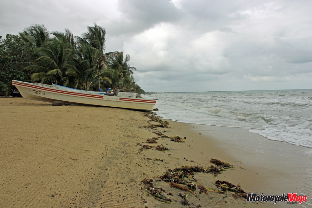
Soaked to the skin, we reach Hopkins, a small fishing village on the coast. The people exude the Caribbean charm so typical for Belize. The area was settled predominantly by the Garifuna, descendants of African slaves who were brought here. On the main street, Bob Marley music blares from the speakers of the small restaurants and the children dance in the street to the calypso beat. Hopkins offers an excellent infrastructure for trips into the surrounding countryside. We find the Barrier Reef, the largest coral reef in the northern hemisphere, and in the Maya Mountains, the world’s only jaguar reserve.
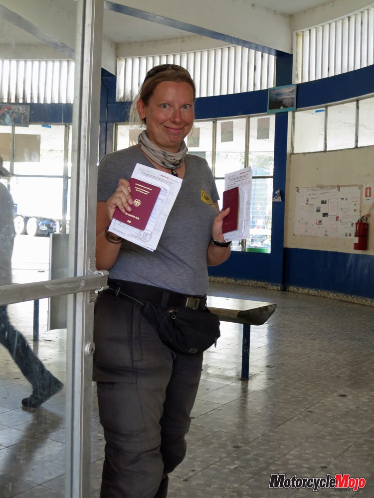
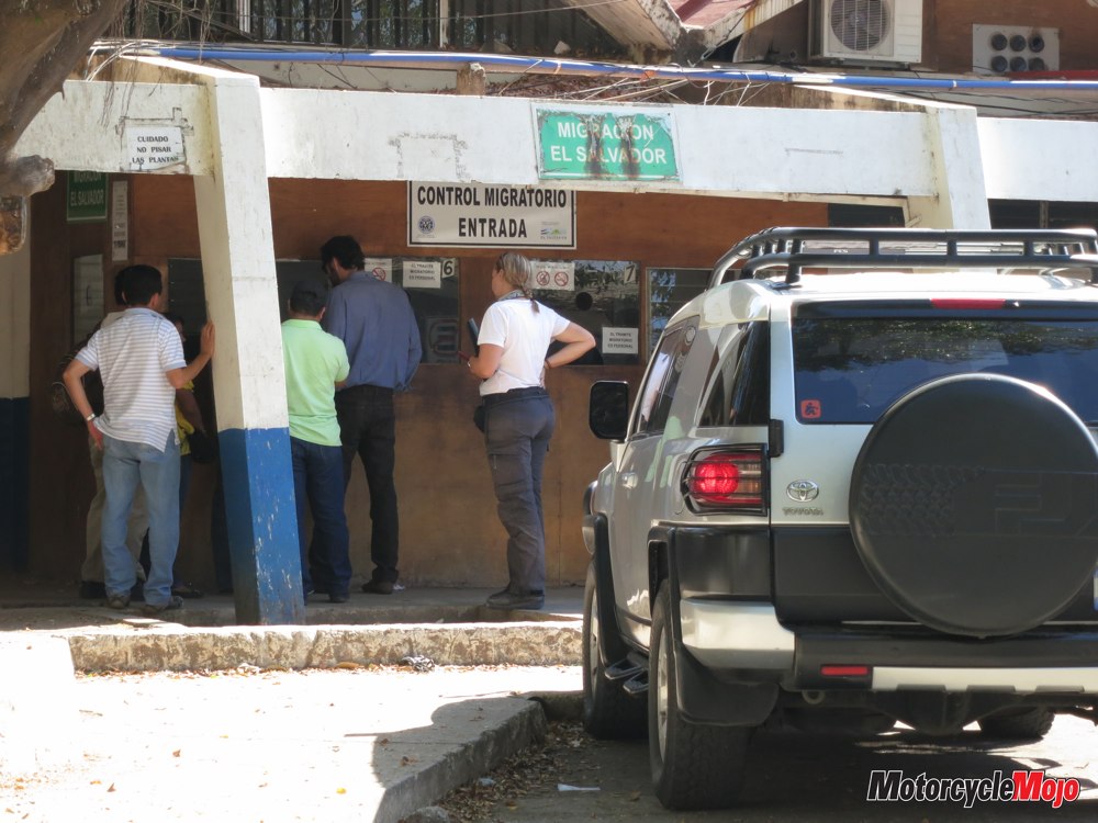
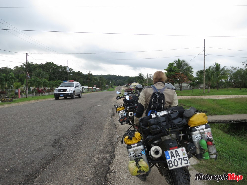
The border crossing into Guatemala takes about two hours. The authorities require some copies of paperwork, which we produce at a conveniently located copy shop down the road.
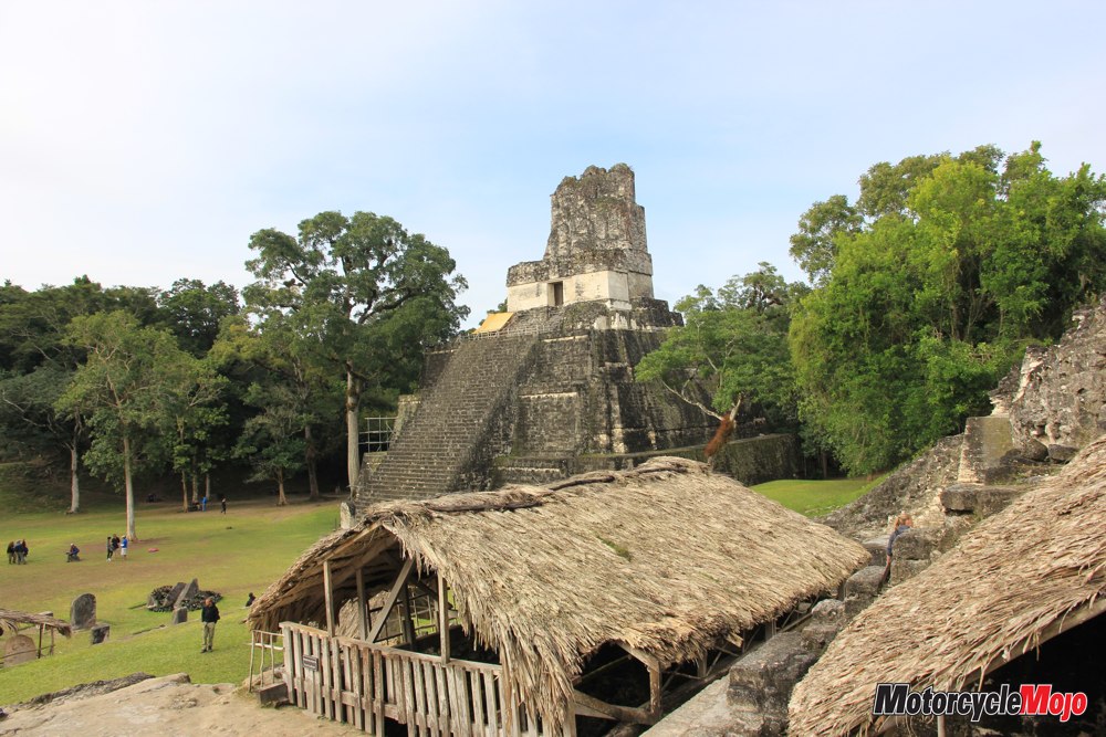
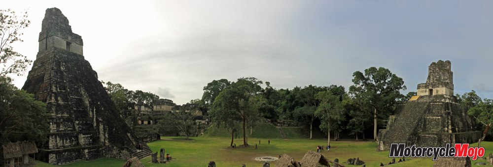
At Lake Petén Itzá, we book a room at a cheap hotel that also offers tours to the Tikal ruins, approximately 30 kilometres away. We set off early the next morning to discover the largest known Mayan city. It is estimated that 90,000 people lived here in its heyday – 700 to 800 AD – an enormous number of people for that time. One masterpiece of Mayan logistics is the network of water canals and reservoirs that the inhabitants constructed to ensure the water supply to this huge city.
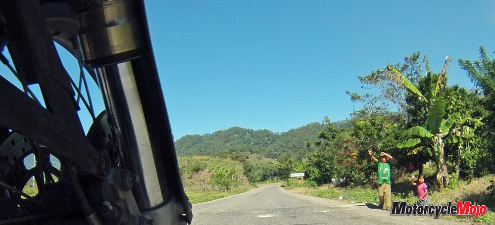
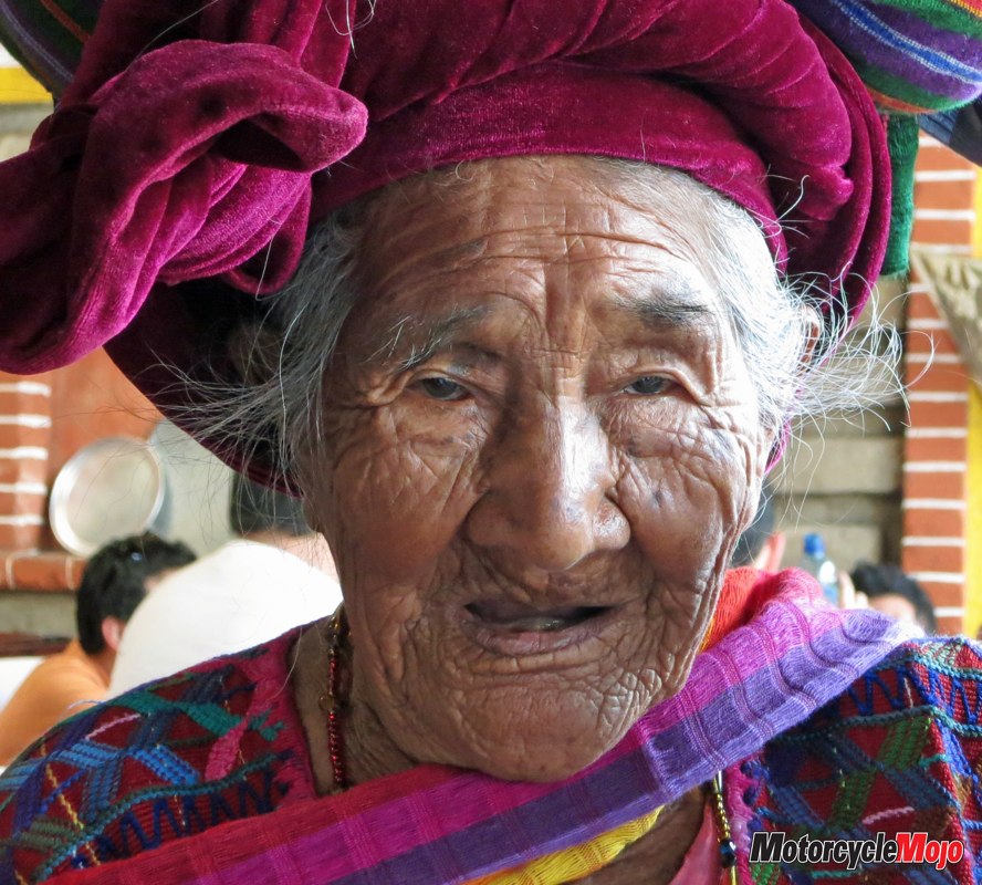
Guatemala is considered the pearl of Central America, and we can see why as we journey farther into the country. People seem almost a little shy, but very friendly. In many places, cooking is still done over wood fires, and bicycles, small mopeds and old pickup trucks dominate the street scene.
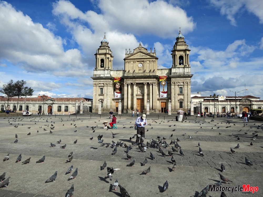
The rural population leads a simple but seemingly contented lifestyle, but then we arrive at Guatemala City, home to five million people, and we realize we have entered a different world.
We pass huge shopping malls, and at traffic lights, we find ourselves stopped next to high-end SUVs made by international manufacturers. We certainly did not expect this on our journey through this country. But even here, sections of the city are clearly marked by poverty and the daily struggle for survival, which is why this city is arguably one of the most dangerous in the country.
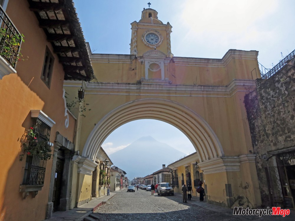
By contrast, Antigua, located at the foot of the Agua volcano, is one of the most beautiful and safest cities in Guatemala. Characterized by its many baroque-style colonial buildings and narrow streets, this tourist highlight of Guatemala boasts an unimaginable number of souvenir shops and street vendors.
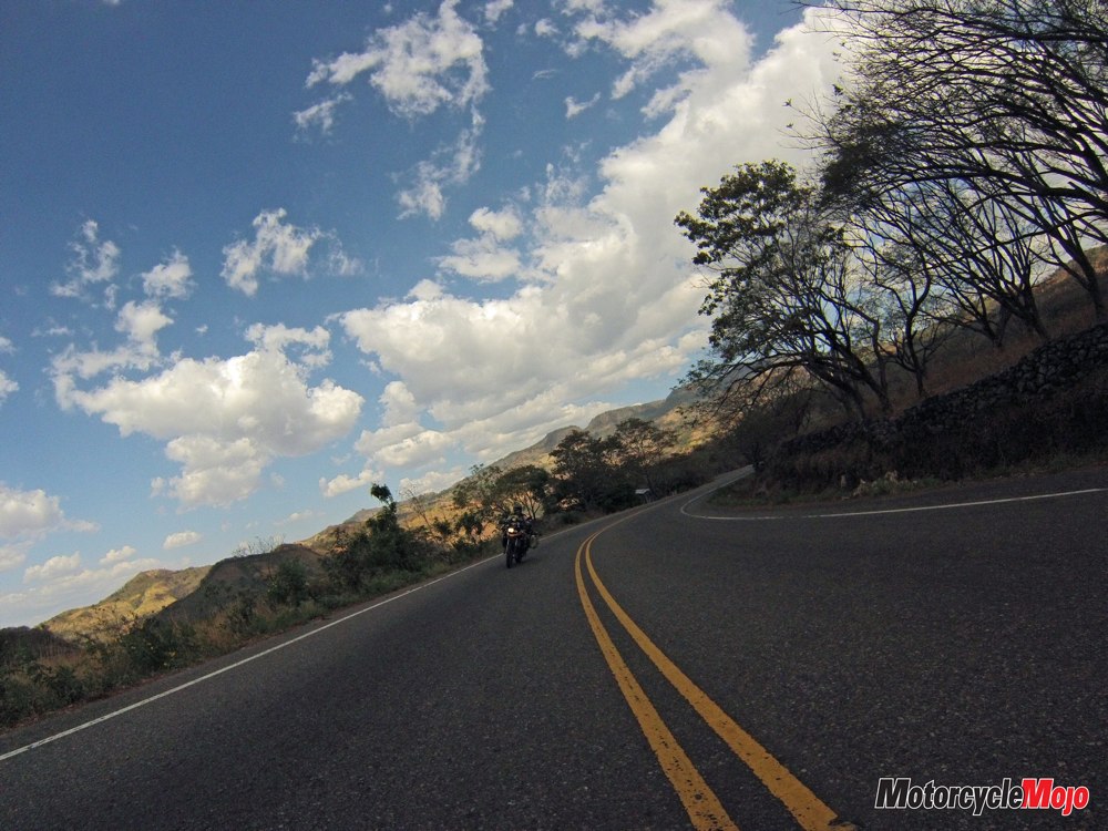
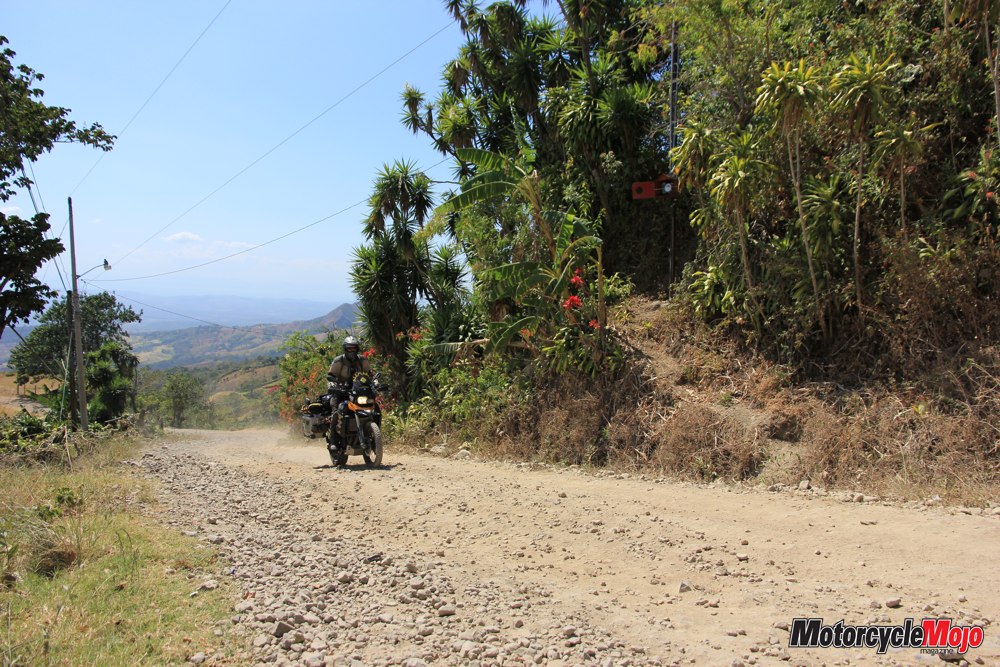
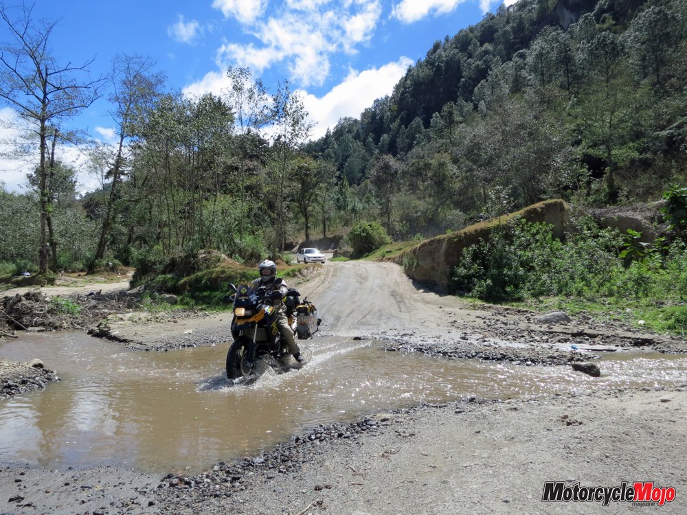
We leave the city on the main route, the CA1. We pick our way to Lake Atitlán over small secondary roads. Steep and narrow, the ribbon of asphalt winds its precipitous way through the mountains. This country, so often beleaguered by earthquakes, struggles to repair the damage that they leave behind, but often lacks the money to do so. Sometimes a piece of road, or even a whole bridge, is missing. But that is no reason to consider the whole route to be blocked. Vehicles can ford through rivers – at least, they can during the dry season – and narrow passes created by landslides pose no serious threat either, as long as drivers are prudent.
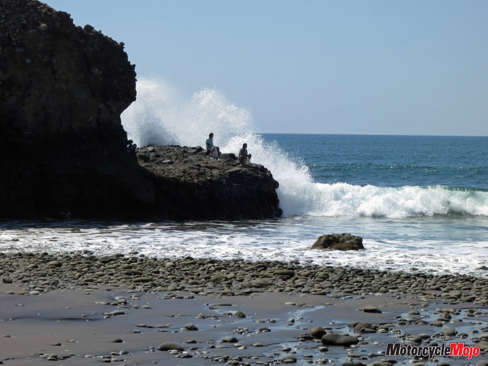
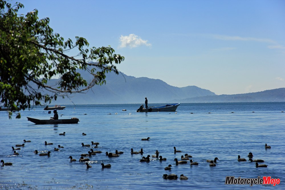
We reach Lake Atitlán after 80 adventurous kilometres. Surrounded by three volcanoes, it is set amid beautiful alpine scenery. The lake is the basis for the livelihood of the local population by way of boat trips to the surrounding settlements, and, in addition to tourism, it also provides an abundance of fish as a food source. Just another half-day’s ride away are the borders of Central America’s smallest, yet most densely populated country – El Salvador. We are in the land of Mara Salvatrucha – also known as MS13 – a very violent organization of street gangs. They are responsible for the highest crime rate in Latin America and are the reason for El Salvador’s bad reputation. But as a tourist, you are not very likely to cross paths with them. Their expertise runs more toward blackmail, prostitution, weapons, and drug and human trafficking. We keep heading east, riding along the coast on the Carretera del Litoral highway. This main paved road, excellent by El Salvador standards, meanders in endless curves along one of the most beautiful sections of coastline in Central America.
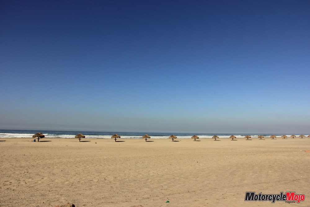
Only the high temperatures of up to 38°C can dampen the pure pleasure of riding on this stretch of road. It wanders past small beach locales populated mostly by surfers from all over the world, along with many small cafés and restaurants. The stifling heat drives us up into the cooler mountain ranges. We ride through San Vincente, and after passing countless coffee plantations, it’s back to the Pan-American Highway. This is where we discover the other side of El Salvador. Mountains, volcanoes and lakes dominate this breathtaking countryside. We rapidly cover the few remaining kilometres to the Honduran border. Among tourists and travellers, this border crossing is considered one of the most complex and difficult in Central America. But it turns out that the greatest challenge we face here is to fend off the countless border workers. “No, gracias!” The actual formalities are not all that different from previous borders. We just have to fill out the proper paperwork and get it copied.
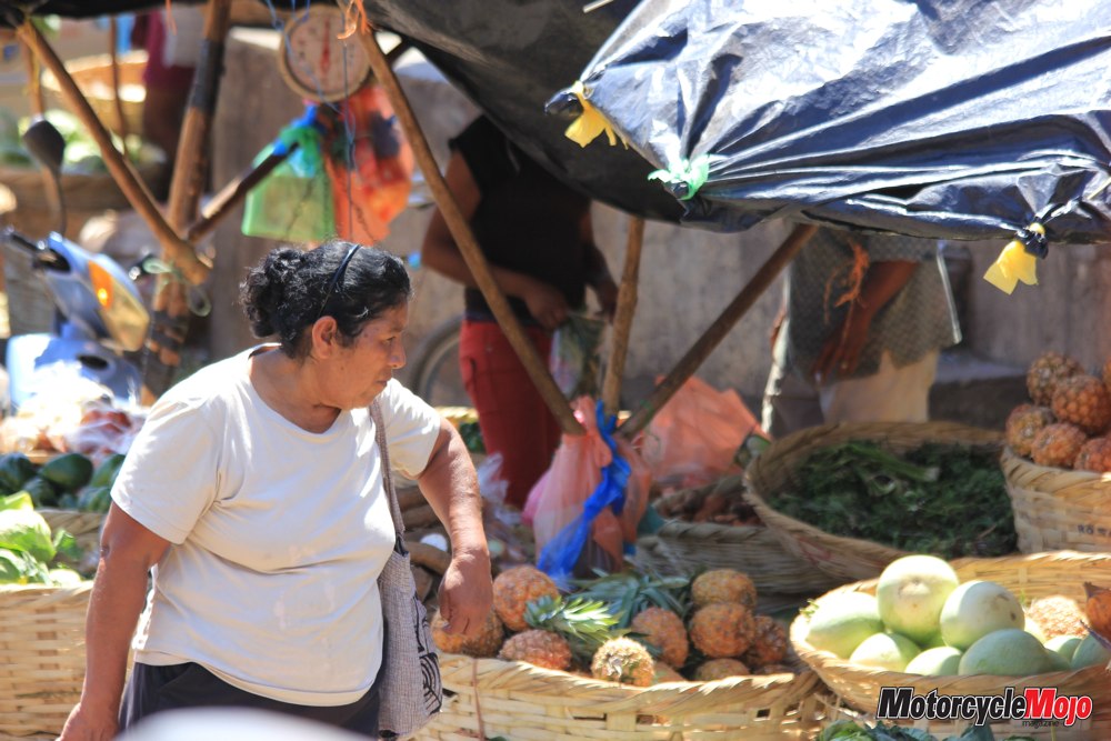
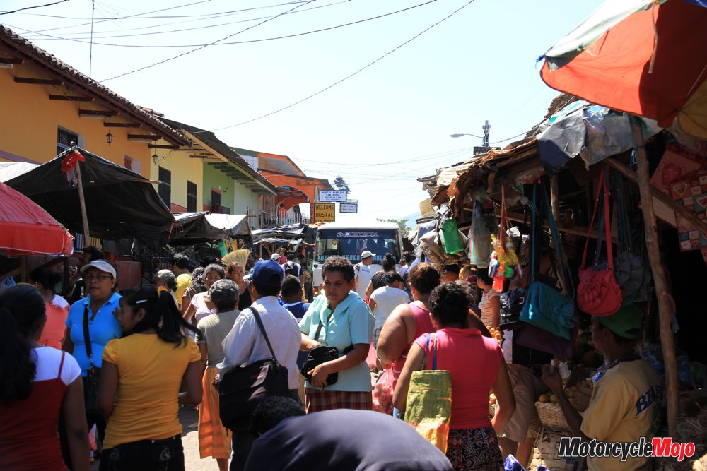
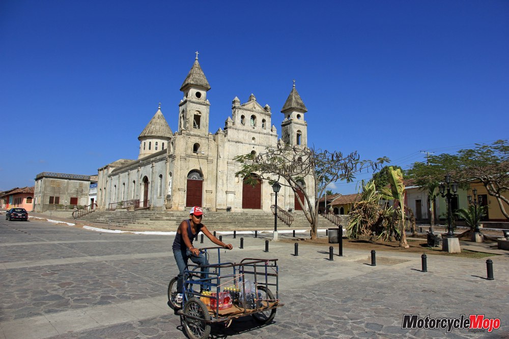
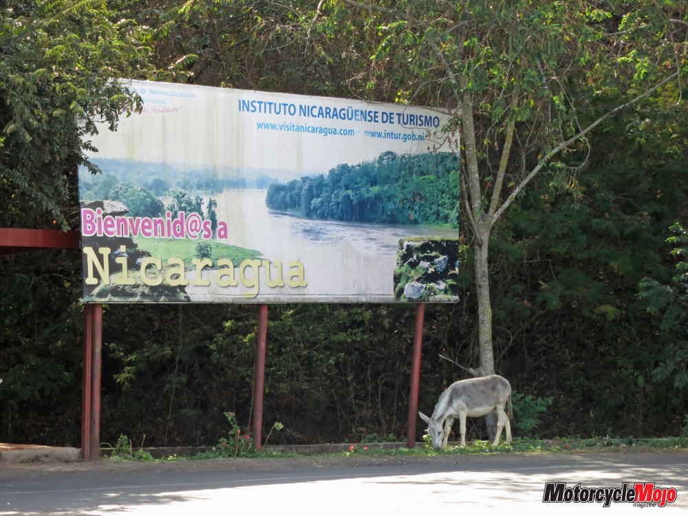
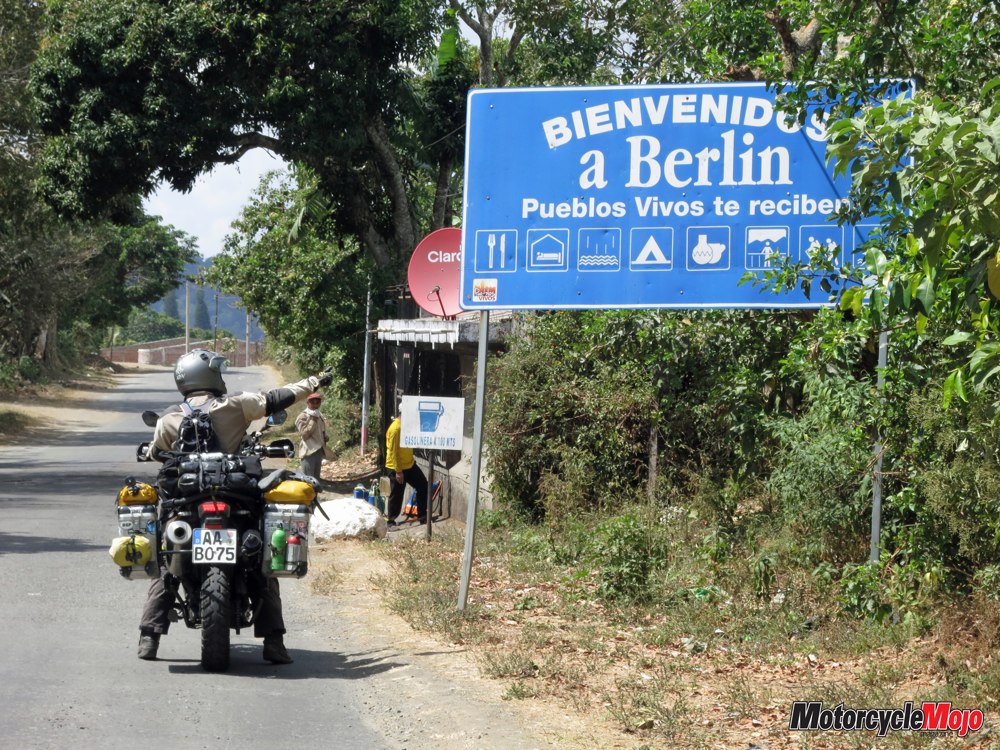
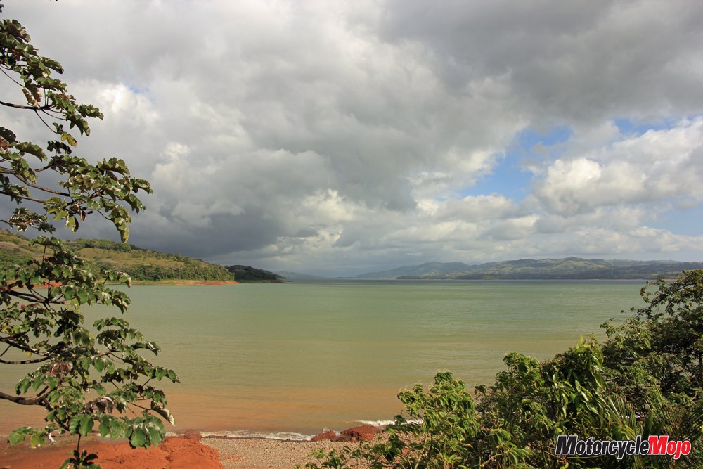
We are done and on our way in less than two hours – including symbolically disinfecting the motorcycles. Honduras is the poorest country in Central America, with a high rate of crime and gang activity to match. We put 150 kilometres behind us in one day. First, we have to navigate the hot and dry lowlands, and then we start heading up into the somewhat cooler and greener mountains at San Marcos. Nicaragua welcomes us with excellent pavement for several thousand kilometres. We reach Granada, the pearl of Nicaragua, which is situated on Lake Nicaragua, the largest lake in Central America. Nestled at the foot of the Mombacho volcano, the colonial-style city has a long and rich history. It was once the most important port and wealthiest city in Central America. There is little evidence today of its glorious past, but the charm of these old buildings, combined with the hustle and bustle of the city, draws us into its spell. A visit to the market, which extends into even the smallest alleyways, assails the senses. Besides fragrant fruits and vegetables, fresh meat is also available on simple wooden tables sitting in the sun.
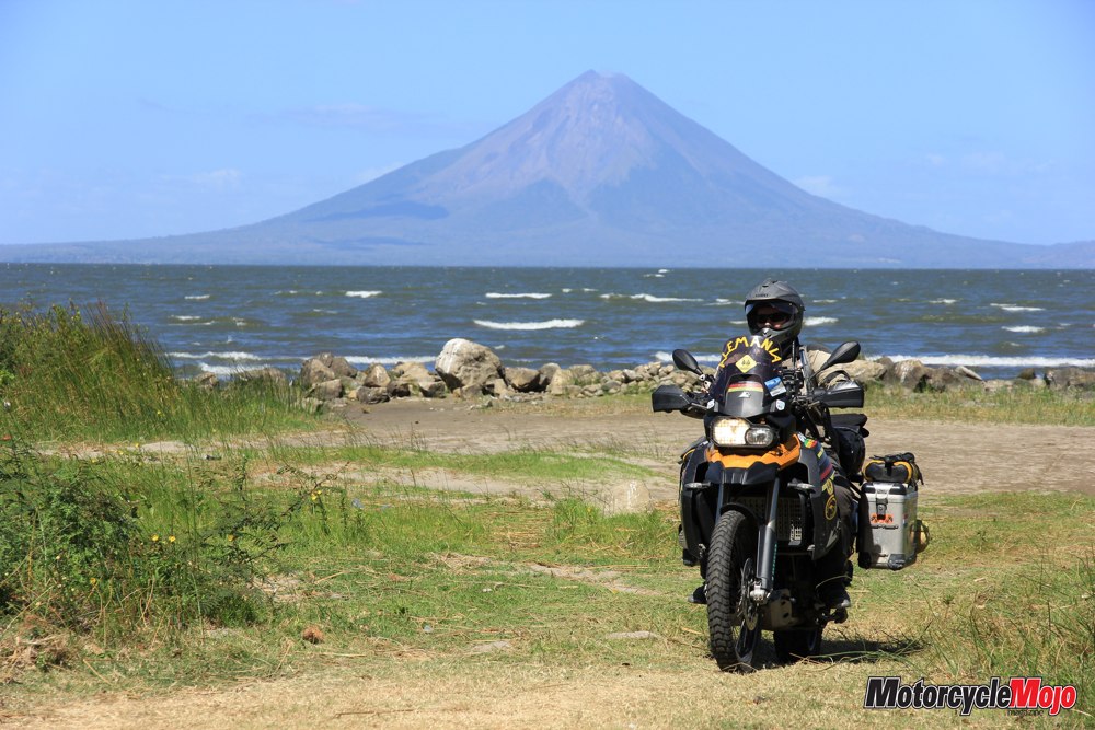
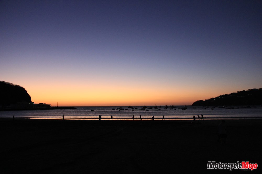
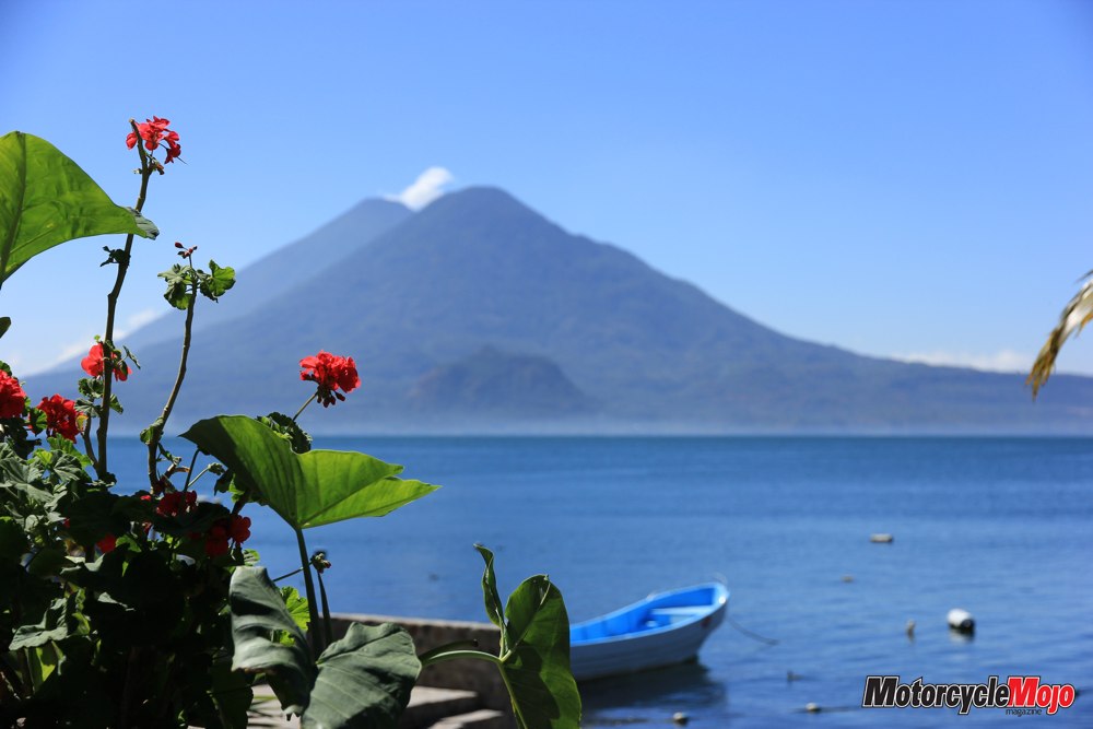
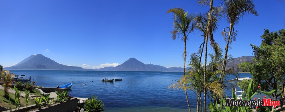
Several of the small workshops along the street contain machines and tools that appear to have been handed down from past generations. Along the shores of Lake Nicaragua, we take in the beautiful views of the Isla de Ometepe, an island formed from two volcanoes. The volcano Concepción, in particular, towers over the lake with its picture-perfect cone shape. Once we reach the Pacific coast of Nicaragua, we visit the small fishing village of San Juan del Sur. The town is famous for sea turtles, which lay their eggs on the beach here. The nearly 30 kilometres to the border of Costa Rica speeds by much too quickly, and once again, we find ourselves in the thick of a Central American border crossing.
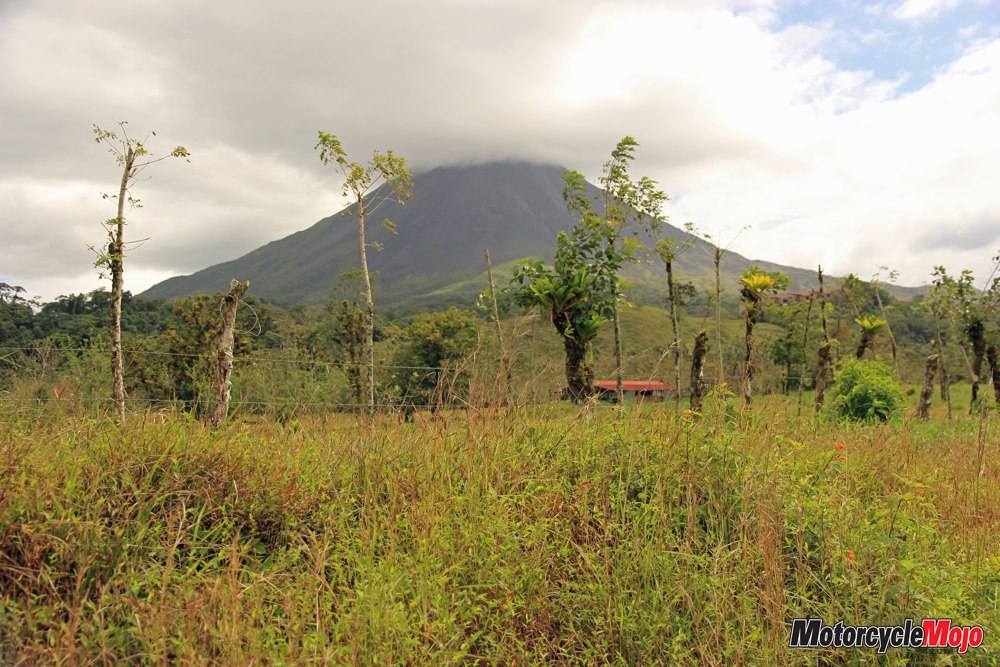
Our arrival in Costa Rica is processed in an unusually efficient manner. Costa Rica is the only Central American country that has decided not to maintain a standing army. It is one of the safest countries in Central America and has an excellent infrastructure. This may be the reason for the large number of tourists who visit each year. Our path leads on to artificial Lake Arenal, which provides about 60% of the country’s electricity needs. Along the northern shore, a narrow, winding road leads us to the namesake of the lake, the Arenal Volcano. For a long time, this volcano was very active, and lava flowed down the flanks of the volcano and into the valley. Today, however, its activity is limited to a little smoke rising from the crater. La Fortuna, a small town right on the Arenal foothill, would probably be considered the epicentre of volcano tourism in Costa Rica. A hotel on every corner, tour operators and car rental companies abound. Narrow streets climb up and then drop down through the mountains.
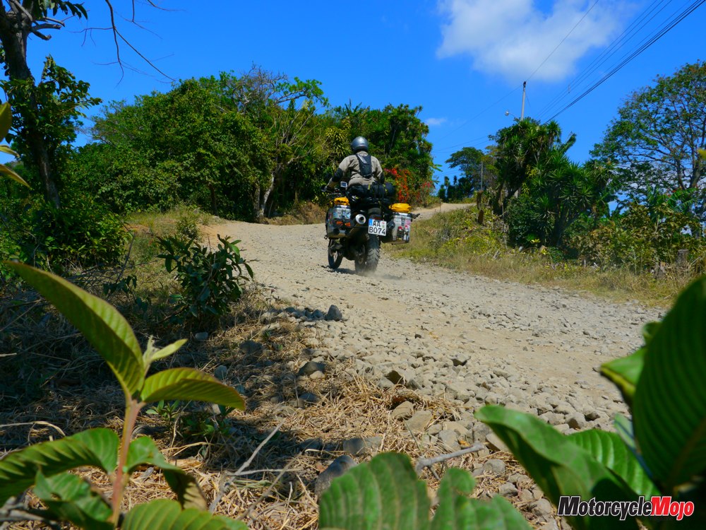
On our descent to the coast, the temperatures start soaring above the 30-degree mark, and the roads lead steeply downhill. We pick our way slowly and carefully in first gear with both of our heavily loaded BMW 800 GSs. In a small village, the paved road ends and turns to coarse gravel. We stop a farmer along the way to ask about the condition of the stretch of road coming up. The answer is obviously, “No problema!” – just what you would expect from a local. Travellers should always be aware that when they hear such statements, the respondent has the clear home advantage, and they usually have a small, lightweight 125 cc Enduro.
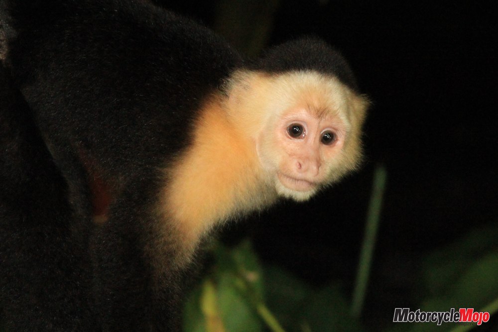
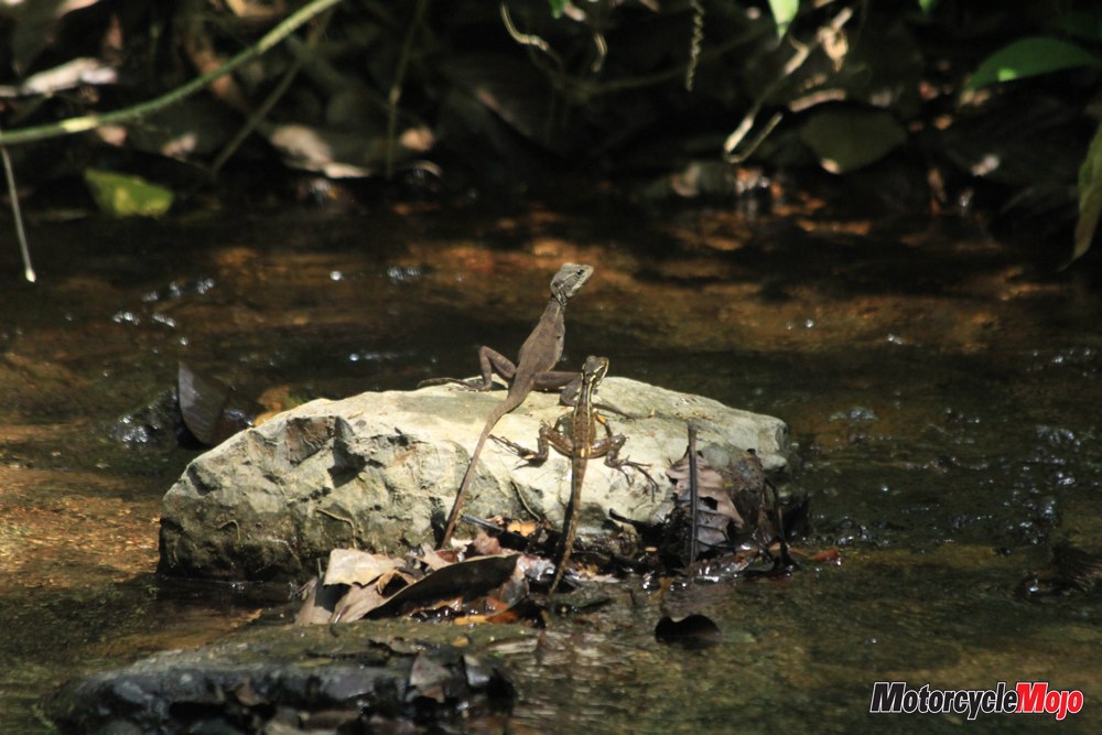
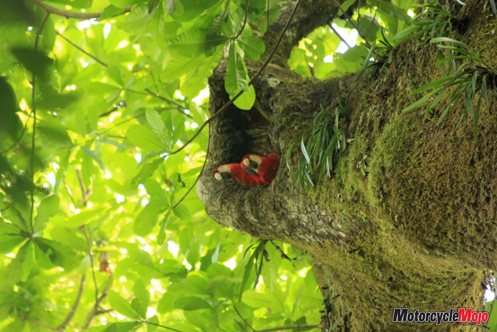
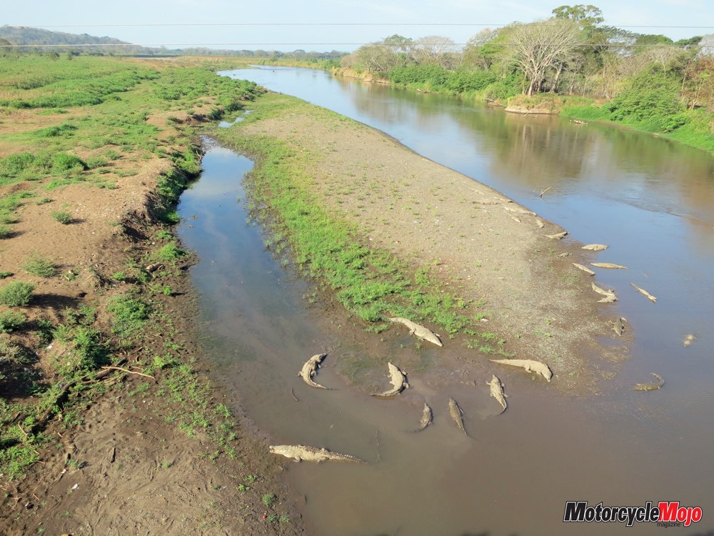
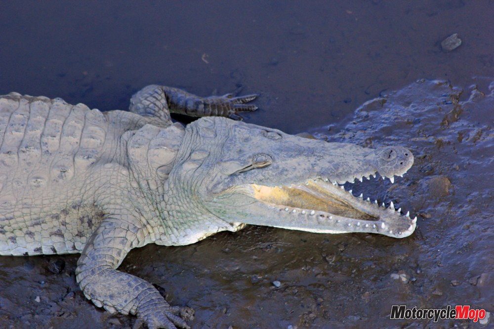
We are nevertheless confident, and the farmer gives us two freshly harvested mangoes. We let some air out of the tires, switch the ABS off, and away we go. The coarse gravel can make the 800 skip and sidle about a little, which is not a problem at first. At least, not until we reach the first steep descent; now we are made fully aware of the weight that is pushing us inexorably downward. At this point, stopping is absolutely out of the question; even with the wheels locked, the bike continues pushing farther downward toward the coast. We grit our teeth and get through it, knowing that every downhill has to end, and we eventually find ourselves on one of the usual paved roads. Along the coast, a stop at the Crocodile Bridge is a must. It spans the Rio Tárcoles, home of many crocodiles. You can admire these giant, dinosaur-like creatures basking on the sandbanks near the bridge – on this day, we count 37 crocodiles. The Carara National Park is only two miles away, and is home to the native sloths, monkeys, lizards and the popular red macaws. A walk through the park takes about two hours and offers us a further insight into the exotic wildlife of Costa Rica.
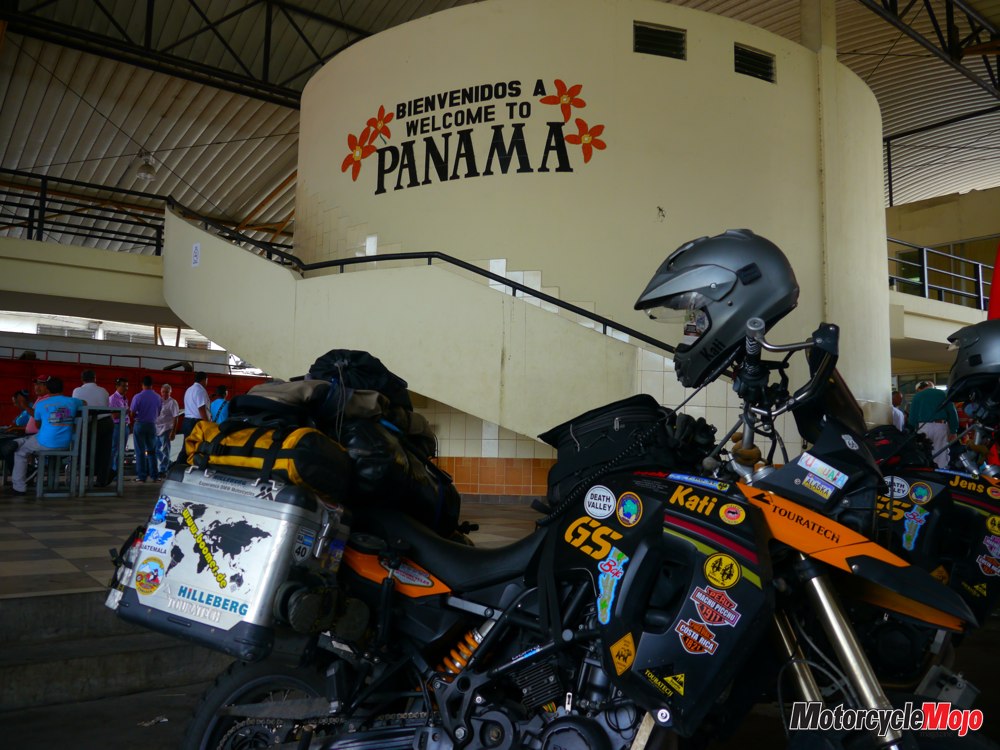
The CR34, near the coast, takes us along the beautiful beaches of the country. Time and time again, we pass beach resorts overflowing with tourists. We quickly reach the border with Panama, and go through all the border-check formalities one last time. Countless border helpers who offer aid with the supposedly complicated process of vehicle imports besiege us. But again, everything goes pretty smoothly. Navigating our way through Panama is not a challenge, provided we follow the Pan-American Highway. It runs like a main artery through the country. Another 500 kilometres and we reach Panama City, the heart of the country, a modern metropolis whose skyline in Central America is unparalleled.
Here are eight of the ten largest skyscrapers in Latin America. Besides dominating the financial markets, Panama City is home, of course, to the Panama Canal, which has contributed to this boom and is one of the seven wonders of the modern world. Our journey ends here at the canal. Farther south leads to a dead end known as the Darién Gap, an impenetrable rainforest. The only thing left for us to do at this point is to jump on a plane that, in just a few hours, will deposit us in a completely different world. But we will never forget these 9000 kilometres through the centre of the American continent. We have collected so many diverse cultural and scenic memories that we could never tell all the stories. But ultimately, it was the people who made this trip so memorable and unique, people whose friendliness and helpfulness touched us – even, or perhaps because – they apparently have so much less than we do.


Thanks for Reading
If you don’t already subscribe to Motorcycle Mojo we ask that you seriously think about it. We are Canada’s last mainstream motorcycle magazine that continuously provides a print and digital issue on a regular basis.
We offer exclusive content created by riders, for riders.
Our editorial staff consists of experienced industry veterans that produce trusted and respected coverage for readers from every walk of life.
Motorcycle Mojo Magazine is an award winning publication that provides premium content guaranteed to be of interest to every motorcycle enthusiast. Whether you prefer cruisers or adventure-touring, vintage or the latest models; riding round the world or just to work, Motorcycle Mojo covers every aspect of the motorcycle experience. Each issue of Motorcycle Mojo contains tests of new models, feature travel stories, compelling human interest articles, technical exposés, product reviews, as well as unique perspectives by regular columnists on safety or just everyday situations that may be stressful at the time but turn into fabulous campfire stories.
Thanks for considering a subscription. The Mojo team truly appreciates it.
