
Mapping Nicaragua


As days turned to weeks of monotonous riding in Central America, Nicaragua threw the author a few twists that made for a memorable ride.
Stare at any map long enough, and a visual trick can occur between the countries therein and the traveller. Take Central America. After six weeks of folding and refolding my map, I began to see in the narrow, curving strip of land a tired, withered limb. Guatemala was the thigh, Honduras the meat on El Salvador’s femur, and Costa Rica the bony shin. At the southern end, the skinny foot of the Panamanian isthmus, wasted almost to nothing, barely manages a toehold on Colombia.
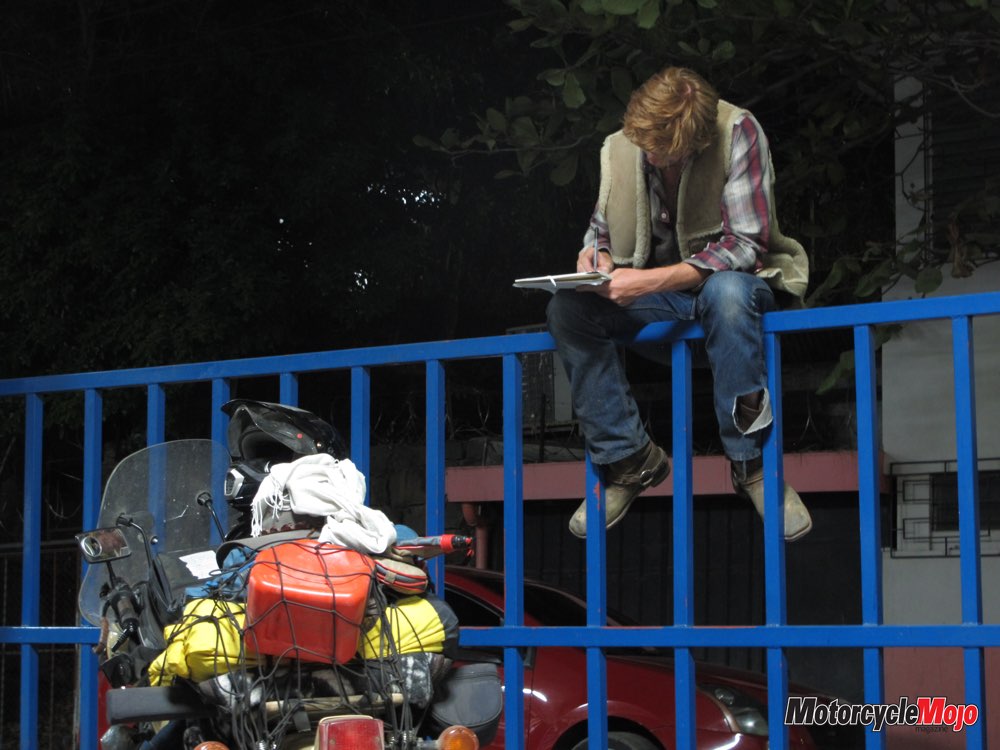
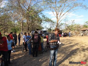
This imaginary image came to me during a stop in the hot and dusty uplands of Nicaragua. Long days in the saddle through Central America had become a monotonous, hypnotic cycle.
Déjà Vu
 Each small town dotting the landscape had begun to blend seamlessly into the next. Every time I entered yet another collection of squat cement houses, “I’ve been here before” easily came to mind. I felt I’d eaten enough pig’s head stew, sweated through enough flat desert and waved away enough peddlers.
Riding inattentively, my memories had begun to slip. This was a case of the travel doldrums, the worst of all travelling illnesses; under its haze, everything begins to fuse into one ill-defined moment and distinguishing one event from the next becomes almost impossible. It was already happening to me: I had been in Honduras the week before, but what did I remember of it? There was that bar – no, wait, that was in Guatemala. And that back road with the banana palms – perhaps that was El Salvador? I needed a change of scene to refocus my mind; to plant me in the present.
Nicaragua; a country blessed with topographical variety that its neighbours lack, helped. Here, the Pan-American Highway is squeezed onto the narrow tendon of land along the Pacific as the land is riven in two by the behemoth of Lake Cocibolca. On the shrunken leg of my map, I decided this was the hough, the soft indentation at the back of the knee, where a well-directed knock will crumple an unsuspecting person.
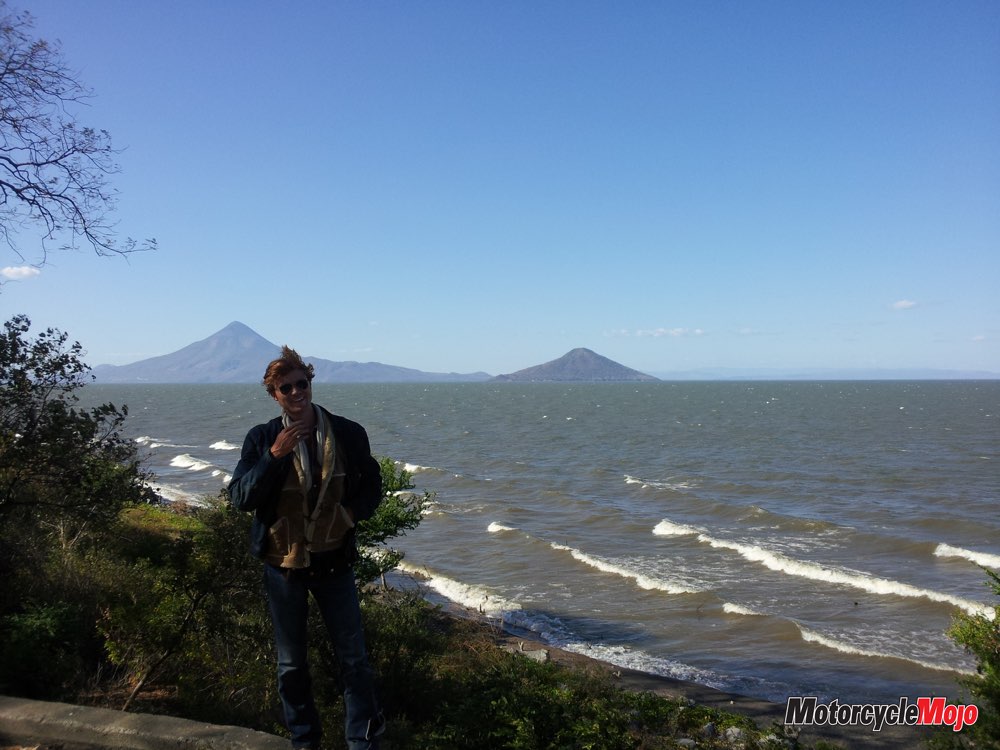
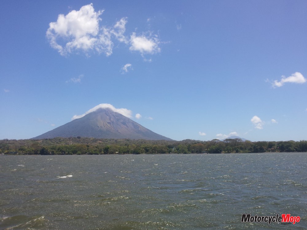
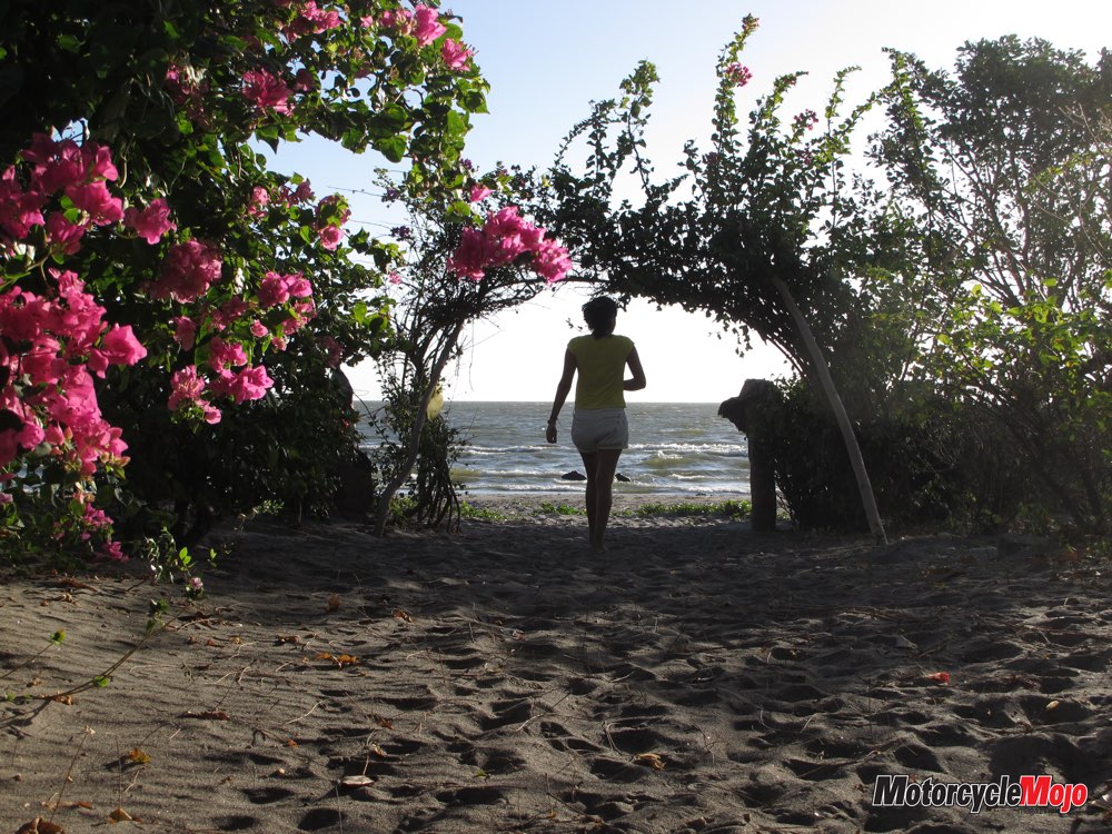
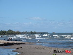
The knock, when it came, arrived as a powerful gust. The easterlies blowing off Lake Cocibolca (also known as Lake Nicaragua) were strong enough to force me to correct my sloppy riding. The cool breeze lifted a corner of the humid blanket weighing me down. Enticed, I turned at a sign directing me to the lakeshore.
Cocibolca is one of the epic lakes of the Americas. South of the Great Lakes, there is almost nothing like it. Cocibolca is twice the size of Utah’s Great Salt Lake and covers an area equivalent to Bolivia’s Lake Titicaca, which is South America’s only sizable body of water. There is certainly nothing comparable to Cocibolca in Central America – Guatemala’s beautiful Lake Atitlan is only a speck in comparison.
Of Spanish Gold and Dictators
 Despite Cocibolca no longer drawing international attention, the lake’s size and access to the Caribbean once made it a common destination for pirates and buccaneers, who made frequent trips up the San Juan River to sack colonial Spanish cities for their gold.
The lakeside city of Granada, the first colonial city on the American mainland and Central America’s main…


Thanks for Reading
If you don’t already subscribe to Motorcycle Mojo we ask that you seriously think about it. We are Canada’s last mainstream motorcycle magazine that continuously provides a print and digital issue on a regular basis.
We offer exclusive content created by riders, for riders.
Our editorial staff consists of experienced industry veterans that produce trusted and respected coverage for readers from every walk of life.
Motorcycle Mojo Magazine is an award winning publication that provides premium content guaranteed to be of interest to every motorcycle enthusiast. Whether you prefer cruisers or adventure-touring, vintage or the latest models; riding round the world or just to work, Motorcycle Mojo covers every aspect of the motorcycle experience. Each issue of Motorcycle Mojo contains tests of new models, feature travel stories, compelling human interest articles, technical exposés, product reviews, as well as unique perspectives by regular columnists on safety or just everyday situations that may be stressful at the time but turn into fabulous campfire stories.
Thanks for considering a subscription. The Mojo team truly appreciates it.
